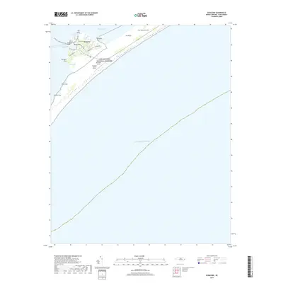
2019 Map of Ocracoke
USGS Topo · Published 2019About this map
Ocracoke serves as the focal point of this coastal study, situated where the Outer Banks separate the Atlantic Ocean from the Pamlico Sound. This maritime landscape is defined by its precarious geography, with narrow landforms like The Plains and First Hammock Hills providing a buffer against the sea. The village itself is a tight network of historic lanes such as Back Rd and Lighthouse Rd, reflecting its evolution from a remote seafaring outpost to a key component of the Cape Hatteras National Seashore.
Find a feature on this map
27 named features on this map. Tap any name to fly to it.
Don’t see what you’re looking for? This feature index may not catch every label — zoom into the map to look around manually.
Map Details
Editions of this 2019 Ocracoke Map
This is the sole edition of this map. No revisions or reprints were ever made.
Other maps of this area

1948 · Portsmouth
USGS Topo · 1:24,000
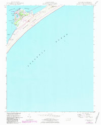
1948 · Ocracoke
USGS Topo · 1:24,000

1950 · Howard Reef
USGS Topo · 1:24,000

1950 · Portsmouth
USGS Topo · 1:24,000
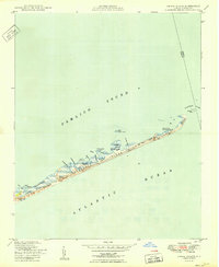
1950 · Green Island
USGS Topo · 1:24,000

1953 · Rocky Mount
USGS Topo · 1:250,000

1953 · Beaufort
USGS Topo · 1:250,000

1954 · Rocky Mount
USGS Topo · 1:250,000

1954 · Beaufort
USGS Topo · 1:250,000

1955 · Wanchese
USGS Topo · 1:250,000