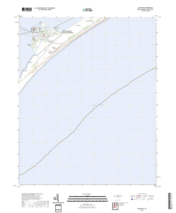
2022 Map of Ocracoke
USGS Topo · Published 2022About this map
Ocracoke Island centers this coastal survey, where the village of Outer Banks sits at the southwestern tip of the Cape Hatteras National Seashore. This barrier island landscape is defined by the proximity of the Pamlico Sound and the Atlantic Ocean, joined by the navigational waters of Teaches Hole Channel and Silver Lake. The map reveals a tight-knit community layout with streets like Back Rd and Jackson Cir serving local residences and institutions, including the British Cem and multiple locations marked as Ch.
Find a feature on this map
28 named features on this map. Tap any name to fly to it.
Don’t see what you’re looking for? This feature index may not catch every label — zoom into the map to look around manually.
Map Details
Editions of this 2022 Ocracoke Map
This is the sole edition of this map. No revisions or reprints were ever made.
Other maps of this area

1948 · Portsmouth
USGS Topo · 1:24,000
1948 · Ocracoke
USGS Topo · 1:24,000

1950 · Howard Reef
USGS Topo · 1:24,000

1950 · Portsmouth
USGS Topo · 1:24,000
1950 · Green Island
USGS Topo · 1:24,000

1953 · Rocky Mount
USGS Topo · 1:250,000

1953 · Beaufort
USGS Topo · 1:250,000

1954 · Rocky Mount
USGS Topo · 1:250,000

1954 · Beaufort
USGS Topo · 1:250,000

1955 · Wanchese
USGS Topo · 1:250,000