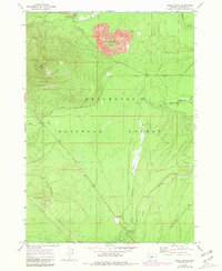
1967 Map of Odell Butte
USGS Topo · Published 1981About this map
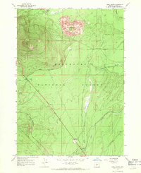
Odell Butte dominates the western landscape of this mid-century survey, a period when the timber-rich lands of the Deschutes National Forest were managed through an intricate network of rail and road. The Southern Pacific railroad cuts a diagonal path across the southwest, while the Klamath Northern serves the eastern reaches, meeting near the small settlement of Mowich. This area is characterized by volcanic features, most notably the stark lava flows surrounding Black Rock Butte and the industrial activity at the Cinder Pit near the northern boundary.
Find a feature on this map
17 named features on this map. Tap any name to fly to it.
Don’t see what you’re looking for? This feature index may not catch every label — zoom into the map to look around manually.
Map Details
Editions of this 1967 Odell Butte Map
2 editions found
Other maps of this area

1930 · Maiden Peak
USGS Topo · 1:125,000

1934 · Maiden Peak
USGS Topo · 1:125,000

1935 · Chemult
USGS Topo · 1:96,000

1941 · Chemult
USGS Topo · 1:125,000

1955 · Crescent
USGS Topo · 1:250,000

1957 · Crescent
USGS Topo · 1:250,000

1958 · Crescent
USGS Topo · 1:250,000

1963 · Hamner Butte
USGS Topo · 1:24,000
1963 · Odell Lake
USGS Topo · 1:24,000
1963 · Cryder Butte
USGS Topo · 1:24,000