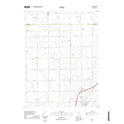
2018 Map of Odell
USGS Topo · Published 2018About this map
Odell and the surrounding Livingston County agricultural landscape are defined by a strictly surveyed grid of county roads and vital drainage networks. This 2018 survey details the intersection of modern infrastructure with the historic alignment of Old US Hwy 66 and Old Rte 66, reflecting the era of early transcontinental travel that shaped this corridor. The village of Odell serves as the primary hub, while smaller named locations like Nevada, Sunbury, and Budd illustrate the dispersed nature of Illinois prairie settlement. Natural watercourses, including the W Fork Mazon River, Murray Slough, and Johnny Run, cut across the landscape, essential for the drainage of the fertile farmland. Local heritage is preserved at several burial grounds, such as Saint Paul's Catholic Cem, Union Cem, and Nevada Cem, providing significant touchpoints for genealogical research in the township.
Find a feature on this map
55 named features on this map. Tap any name to fly to it.
Don’t see what you’re looking for? This feature index may not catch every label — zoom into the map to look around manually.
Map Details
Editions of this 2018 Odell Map
This is the sole edition of this map. No revisions or reprints were ever made.
Other maps of this area

1935 · Pontiac
USGS Topo · 1:62,500

1939 · Pontiac
USGS Topo · 1:62,500

1947 · Cullom
USGS Topo · 1:62,500

1948 · Dwight
USGS Topo · 1:62,500

1949 · Cullom
USGS Topo · 1:62,500

1950 · Dwight
USGS Topo · 1:62,500

1958 · Odell
USGS Topo · 1:62,500

1958 · Aurora
USGS Topo · 1:250,000

1958 · Peoria
USGS Topo · 1:250,000

1961 · Aurora
USGS Topo · 1:250,000