2024 Map of Odell
USGS Topo · Published 2024About this map
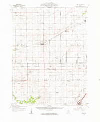
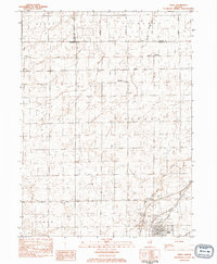
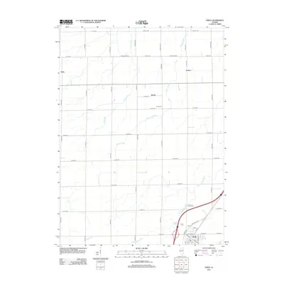
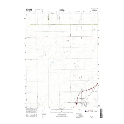
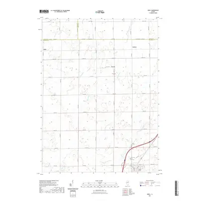
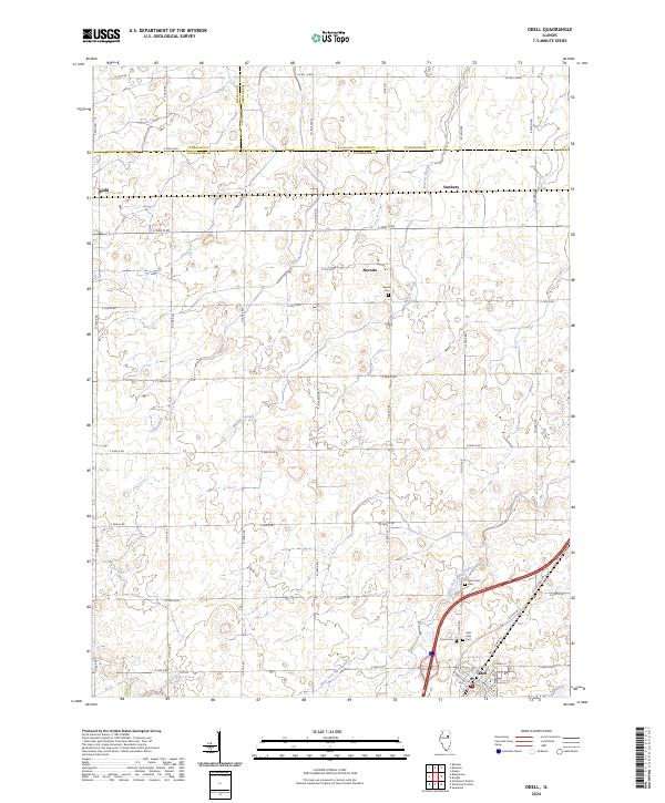
The village of Odell serves as the focal point of this rural prairie landscape where Livingston, Grundy, and LaSalle counties converge. The terrain is defined by the gentle drainage patterns of the West Fork Mazon River and its tributaries, including Murray Slough and Johnny Run. This modern survey documents the contemporary road grid alongside segments of the historic Old US Hwy 66, which cuts diagonally through the southeastern corner of the quadrangle. Outside the main village, smaller agricultural clusters like Nevada, Budd, and Sunbury remain identifiable, marking traditional stopovers in the Illinois countryside.
Find a feature on this map
49 named features on this map. Tap any name to fly to it.
Don’t see what you’re looking for? This feature index may not catch every label — zoom into the map to look around manually.
Map Details
Editions of this 2024 Odell Map
This is the sole edition of this map. No revisions or reprints were ever made.
Historical Maps of Nevada Through Time
7 maps found