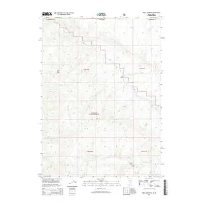
2015 Map of Odell Mountain
USGS Topo · Published 2015About this map
Humboldt National Forest lands dominate this high-desert topography at the Nevada-Oregon border, centered on the prominent summit of Odell Mtn. The landscape is defined by the drainage network of the E Fork Quinn River, which winds through the central valley between the Santa Rosa Range to the west and high plateaus to the east. Several deep incisions like Long Canyon and Klondike Canyon cut through the terrain, leading toward the distinctively level Circular Flat.
Find a feature on this map
18 named features on this map. Tap any name to fly to it.
Don’t see what you’re looking for? This feature index may not catch every label — zoom into the map to look around manually.
Map Details
Editions of this 2015 Odell Mountain Map
This is the sole edition of this map. No revisions or reprints were ever made.
Other maps of this area
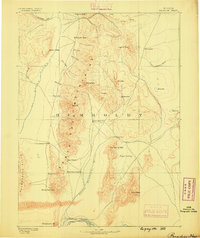
1882 · Paradise
USGS Topo · 1:250,000
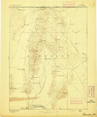
1893 · Paradise
USGS Topo · 1:250,000

1955 · McDermitt
USGS Topo · 1:250,000

1955 · Jordan Valley
USGS Topo · 1:250,000

1957 · Jordan Valley
USGS Topo · 1:250,000

1958 · Jordan Valley
USGS Topo · 1:250,000

1959 · McDermitt
USGS Topo · 1:250,000
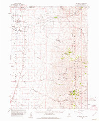
1959 · McDermitt
USGS Topo · 1:62,500
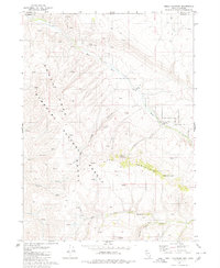
1980 · Odell Mountain
USGS Topo · 1:24,000
1980 · Capitol Peak
USGS Topo · 1:24,000