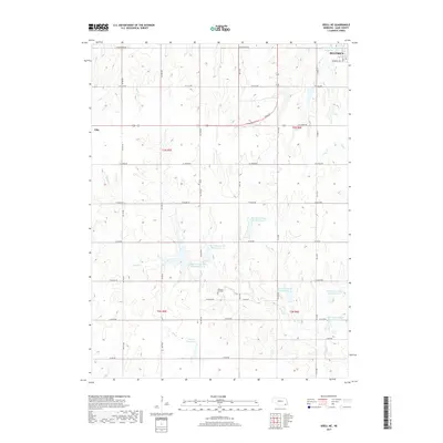
2017 Map of Odell NE
USGS Topo · Published 2017About this map
Sicily Cr and its various tributaries define the agricultural landscape of this corner of Gage County, where a complex network of water management features has been developed. The small settlement of Ellis sits in the northwestern quadrant, while the southern reaches of Beatrice appear in the northeast, marking the transition from rural township sections to the regional hub.
Find a feature on this map
32 named features on this map. Tap any name to fly to it.
Don’t see what you’re looking for? This feature index may not catch every label — zoom into the map to look around manually.
Map Details
Editions of this 2017 Odell NE Map
This is the sole edition of this map. No revisions or reprints were ever made.
Other maps of this area
1955 · Lincoln
USGS Topo · 1:250,000
1957 · Lincoln
USGS Topo · 1:250,000
1957 · Plymouth
USGS Topo · 1:24,000
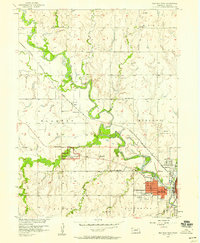
1957 · Beatrice West
USGS Topo · 1:24,000
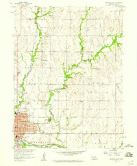
1957 · Beatrice East
USGS Topo · 1:24,000
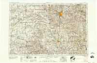
1958 · Lincoln
USGS Topo · 1:250,000
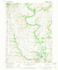
1964 · Blue Springs
USGS Topo · 1:24,000
1970 · Diller NE
USGS Topo · 1:24,000
1970 · Wymore
USGS Topo · 1:24,000
1970 · Harbine
USGS Topo · 1:24,000