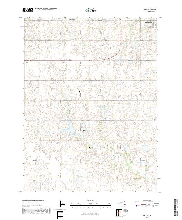
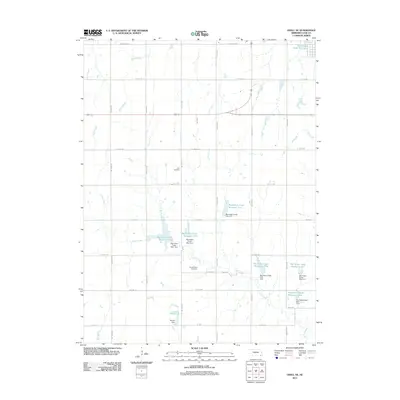
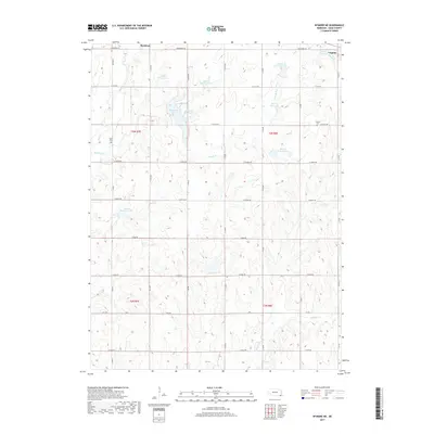
2021 Map of Odell NE
USGS Topo · Published 2021About this map
Beatrice sits at the northern edge of this Gage County landscape, where the outlying grid of Nebraska's section lines meets the rolling drainage basins of several local reservoirs. The geography is defined by a series of water management projects, including Big Indian Cr Reservoir 13-C, Big Indian Cr Reservoir 14-A, and Big Indian Cr Reservoir 12-A, which follow the natural contours of the Big Indian Cr and Sicily Cr valleys. These reservoirs, alongside Snyder Reservoir, illustrate the modern hydrological management essential to this agricultural region. Evidence of early settlement and community history remains visible through local landmarks like Ellis Cem and Anyon Cem, which serve as permanent markers of the rural families who established themselves along these prairie creeks.
Find a feature on this map
1 named feature on this map. Tap any name to fly to it.
Don’t see what you’re looking for? This feature index may not catch every label — zoom into the map to look around manually.
Map Details
Editions of this 2021 Odell NE Map
This is the sole edition of this map. No revisions or reprints were ever made.
Historical Maps of Beatrice Through Time
20 maps found
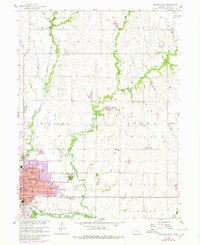
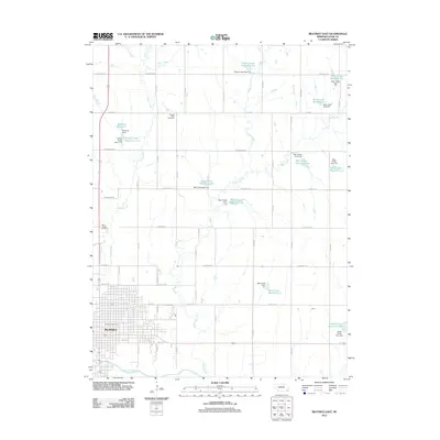
1957 Beatrice East
Gage County, NE
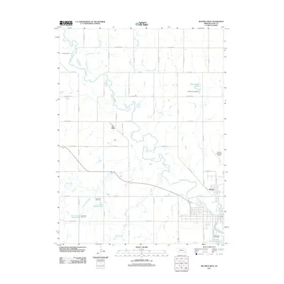
1957 Beatrice West
Gage County, NE
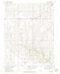
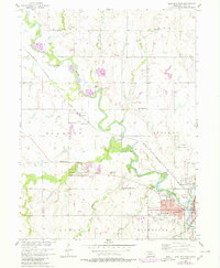
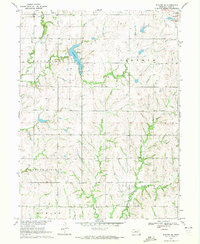
1970 Odell NE
Gage County, NE
1970 Wymore NE
Gage County, NE
2011 Beatrice East
Gage County, NE
2011 Beatrice West
Gage County, NE
2011 Odell NE
Gage County, NE
2011 Wymore NE
Gage County, NE
2014 Beatrice East
Gage County, NE
2014 Beatrice West
Gage County, NE
2014 Odell NE
Gage County, NE
2014 Wymore NE
Gage County, NE
2017 Beatrice East
Gage County, NE
2017 Beatrice West
Gage County, NE
2017 Odell NE
Gage County, NE
2017 Wymore NE
Gage County, NE
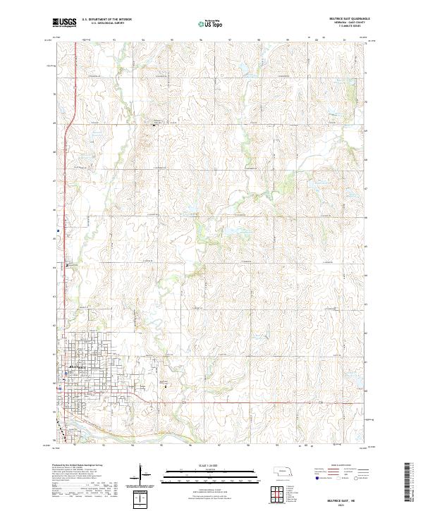
2021 Beatrice East
Gage County, NE
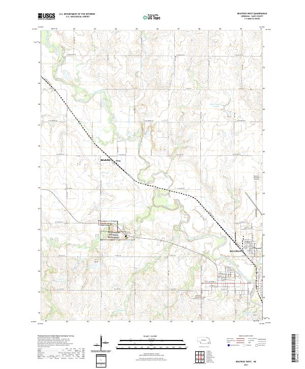
2021 Beatrice West
Gage County, NE
2021 Odell NE
Gage County, NE
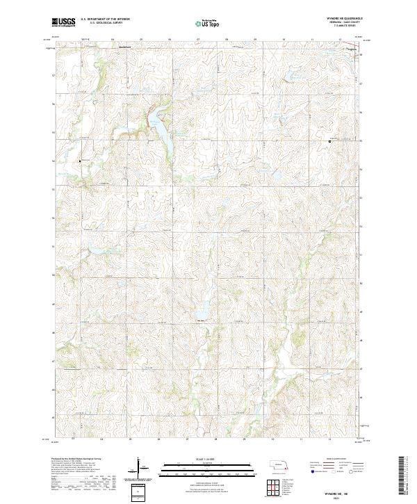
2021 Wymore NE
Gage County, NE