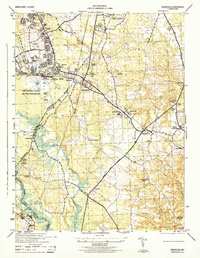
1944 Map of Odenton
USGS Topo · Published 1944About this map
Fort George G Meade Military Reservation dominates the western landscape of this mid-century survey, showing the extensive infrastructure of the base including a Rifle Range and a Landing Strip. The corridor between the Pennsylvania railroad and the Robert Crain Highway reveals a network of small settlements and agricultural sites like the US Naval Academy Dairy. Local history is preserved in the locations of numerous rural houses of worship, such as Waugh Chapel, St Stephens Church, and Forks Church, which served as community hubs during this era of growth. Unique landmarks like the Forest and Stream Animal Cemetery and the Bowie Race Track on the Prince Georges County line provide a fascinating view of land use just as the region began its transition toward modern suburbanization. The hydrology of the area is well-defined by the Little Patuxent River and Severn River, framing the various villages of Odenton, Gambrills, and Millersville.
Find a feature on this map
50 named features on this map. Tap any name to fly to it.
Don’t see what you’re looking for? This feature index may not catch every label — zoom into the map to look around manually.
Map Details
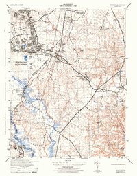
Editions of this 1944 Odenton Map
2 editions found
Other maps of this area

1892 · Laurel
USGS Topo · 1:62,500

1892 · Owensville
USGS Topo · 1:62,500

1894 · Laurel
USGS Topo · 1:62,500

1894 · Relay
USGS Topo · 1:62,500

1895 · Owensville
USGS Topo · 1:62,500

1897 · Laurel
USGS Topo · 1:62,500

1899 · Patuxent
USGS Topo · 1:125,000

1900 · Washington
USGS Topo · 1:62,500

1905 · Owensville
USGS Topo · 1:62,500

1906 · Patuxent
USGS Topo · 1:125,000