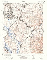
1944 Map of Odenton
USGS Topo · Published 1944About this map
Fort George G Meade Military Reservation dominates the western landscape of this mid-century survey, showing the intensive infrastructure of the World War II era. Within its boundaries, specialized training sites like the Rifle Range and Pistol Range are clearly delineated alongside critical facilities like the heating plant stack and a dedicated Landing Strip. This military presence is juxtaposed against the established agricultural and civilian life of Anne Arundel County, where small settlements like Odenton and Gambrills sit along the Pennsylvania railroad line.
Find a feature on this map
43 named features on this map. Tap any name to fly to it.
Don’t see what you’re looking for? This feature index may not catch every label — zoom into the map to look around manually.
Map Details
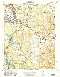
Editions of this 1944 Odenton Map
2 editions found
Other maps of this area

1892 · Laurel
USGS Topo · 1:62,500

1892 · Owensville
USGS Topo · 1:62,500

1894 · Laurel
USGS Topo · 1:62,500

1894 · Relay
USGS Topo · 1:62,500

1895 · Owensville
USGS Topo · 1:62,500

1897 · Laurel
USGS Topo · 1:62,500

1899 · Patuxent
USGS Topo · 1:125,000

1900 · Washington
USGS Topo · 1:62,500

1905 · Owensville
USGS Topo · 1:62,500

1906 · Patuxent
USGS Topo · 1:125,000