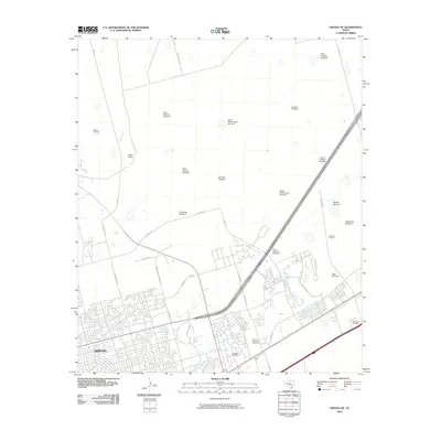
2010 Map of Odessa NE
USGS Topo · Published 2010About this map
Odessa expands into the Permian Basin on this 2010 map, showing a landscape defined by its transition from suburban growth to traditional ranching and oil production. The southern portion of the sheet is heavily developed with a grid of residential streets like Mission Dr and Colorado Ave, reaching toward the Sunset Memorial Gardens. As the city gives way to the open plains of Ector and Midland counties, the infrastructure shifts to the energy and livestock economy that built the region.
Find a feature on this map
42 named features on this map. Tap any name to fly to it.
Don’t see what you’re looking for? This feature index may not catch every label — zoom into the map to look around manually.
Map Details
Editions of this 2010 Odessa NE Map
This is the sole edition of this map. No revisions or reprints were ever made.
Other maps of this area

1954 · Hobbs
USGS Topo · 1:250,000

1954 · Pecos
USGS Topo · 1:250,000

1957 · Pecos
USGS Topo · 1:250,000

1958 · Hobbs
USGS Topo · 1:250,000

1964 · Odessa NE
USGS Topo · 1:24,000

1964 · Odessa SW
USGS Topo · 1:24,000

1964 · Odessa NW
USGS Topo · 1:24,000

1964 · Odessa SE
USGS Topo · 1:24,000

1964 · Parks
USGS Topo · 1:24,000

1965 · Southwest Midland
USGS Topo · 1:24,000