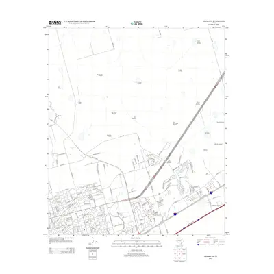
2012 Map of Odessa NE
USGS Topo · Published 2012About this map
The high plains of West Texas are defined here by a network of energy extraction and ranching infrastructure, where the industrial footprint of the Permian Basin meets the expanding residential fringes of the city. Numerous active zones including the Ratliff Oil Field, Headlee Oil Field, and Hallanan Oil Field illustrate the region's long-standing economic drivers. Scattered across the landscape are legacy markers of water management, such as the North Cooksey Windmill, Pear Tree Windmill, and South Whittenburg Windmill, which speak to the area's agricultural roots alongside the massive Ratliff Ranch. This survey captures a moment of suburban transition, shown by the dense residential street grids of the southwest corner and landmarks like Sunset Memorial Gardens, contrasting with the open range and scattered settlements like Solo found further east toward FM-1788.
Find a feature on this map
153 named features on this map. Tap any name to fly to it.
Don’t see what you’re looking for? This feature index may not catch every label — zoom into the map to look around manually.
Map Details
Editions of this 2012 Odessa NE Map
This is the sole edition of this map. No revisions or reprints were ever made.
Other maps of this area

1954 · Hobbs
USGS Topo · 1:250,000

1954 · Pecos
USGS Topo · 1:250,000

1957 · Pecos
USGS Topo · 1:250,000

1958 · Hobbs
USGS Topo · 1:250,000

1964 · Odessa NE
USGS Topo · 1:24,000

1964 · Odessa SW
USGS Topo · 1:24,000

1964 · Odessa NW
USGS Topo · 1:24,000

1964 · Odessa SE
USGS Topo · 1:24,000

1964 · Parks
USGS Topo · 1:24,000

1965 · Southwest Midland
USGS Topo · 1:24,000