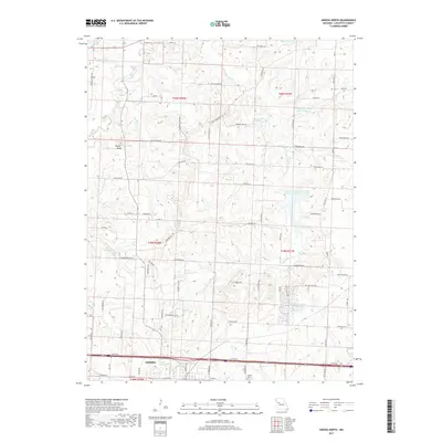
2017 Map of Odessa North
USGS Topo · Published 2017About this map
Odessa serves as the southern anchor for this Lafayette County landscape, where the town's northern edge meets the tranquil waters of Lake Venita and Owl Cr. The surrounding countryside is defined by the complex drainage network of Sni-A-Bar Cr and its tributaries, including Little Sni-A-Bar Cr and the Big Branch. This modern survey reveals a region characterized by numerous managed water bodies, such as the Land of Lakes Reservoir, Odessa Hills Lake, and Lafayette County Lake Number 4, which serve the agricultural and residential needs of the Missouri interior.
Find a feature on this map
76 named features on this map. Tap any name to fly to it.
Don’t see what you’re looking for? This feature index may not catch every label — zoom into the map to look around manually.
Map Details
Editions of this 2017 Odessa North Map
This is the sole edition of this map. No revisions or reprints were ever made.
Other maps of this area

1885 · Warrensburg
USGS Topo · 1:125,000

1887 · Harrisonville
USGS Topo · 1:125,000

1887 · Warrensburg
USGS Topo · 1:125,000

1889 · Lexington
USGS Topo · 1:125,000

1892 · Harrisonville
USGS Topo · 1:125,000

1894 · Harrisonville
USGS Topo · 1:125,000

1894 · Independence
USGS Topo · 1:125,000

1894 · Warrensburg
USGS Topo · 1:125,000

1947 · Jefferson City
USGS Topo · 1:250,000

1947 · Lawrence
USGS Topo · 1:250,000