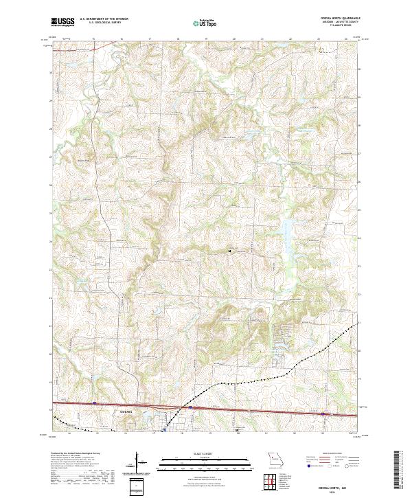
2021 Map of Odessa North
USGS Topo · Published 2021About this map
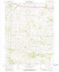
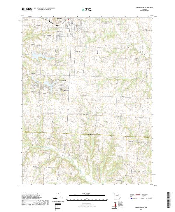
The town of Odessa anchors the southern edge of this Lafayette County landscape, where the agricultural uplands are deeply dissected by the winding tributaries of Sni-A-Bar Creek. The map documents a complex network of rural infrastructure, where modern reservoirs like Lafayette County Lake Number 4 and Land of Lakes Reservoir sit alongside relics of the region's earlier history. Notable local landmarks include the Old Santa Fe Trl in the northwest and Bryant Knob, a distinctive local high point. The naming of roads like Flournoy School Rd and Fallman Mine Rd provides clear markers for those tracing family history or early industry in the area, while the presence of the Barker Cem and Odessa Cem offers specific points of interest for genealogical research in this part of Missouri.
Find a feature on this map
76 named features on this map. Tap any name to fly to it.
Don’t see what you’re looking for? This feature index may not catch every label — zoom into the map to look around manually.
Map Details
Editions of this 2021 Odessa North Map
This is the sole edition of this map. No revisions or reprints were ever made.
Historical Maps of Odessa Through Time
14 maps found
1949 Lexington East
Lafayette County, MO
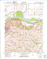
1949 Odessa North
Lafayette County, MO

1950 Lexington East
Lafayette County, MO
1950 Odessa North
Lafayette County, MO
1961 Knob Noster NW
Lafayette County, MO
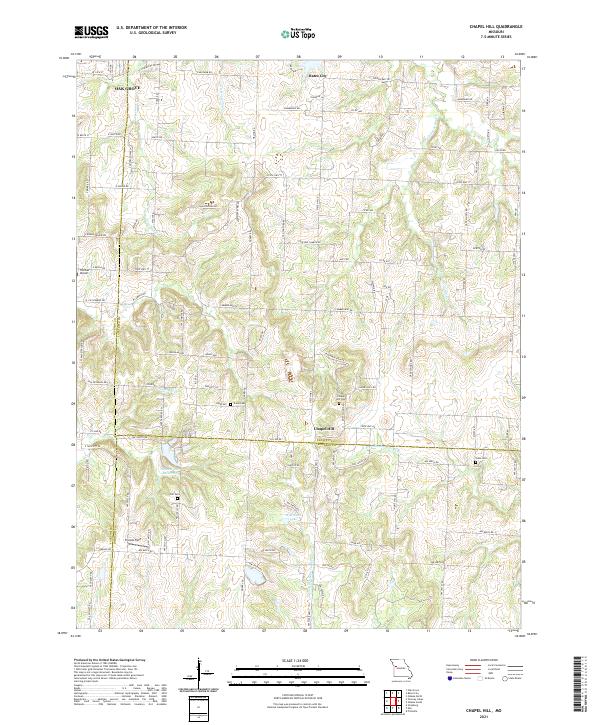
1963 Chapel Hill
Lafayette County, MO
1963 Fayetteville
Lafayette County, MO
1963 Odessa South
Lafayette County, MO
2021 Chapel Hill
Lafayette County, MO
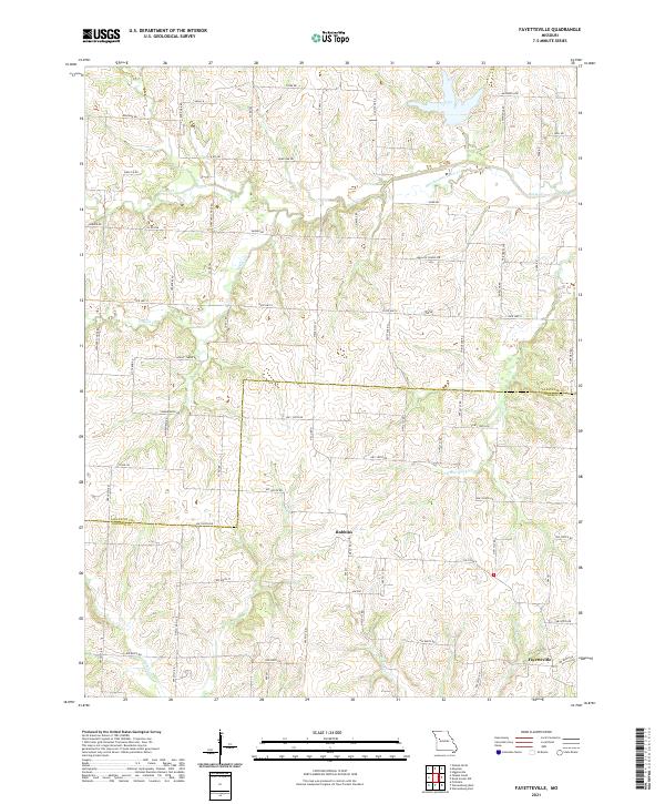
2021 Fayetteville
Lafayette County, MO
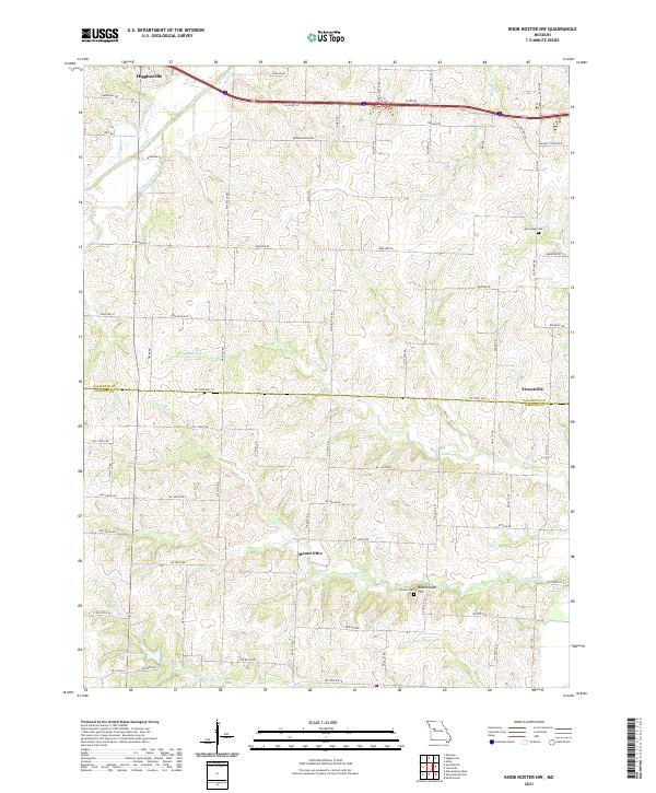
2021 Knob Noster NW
Lafayette County, MO
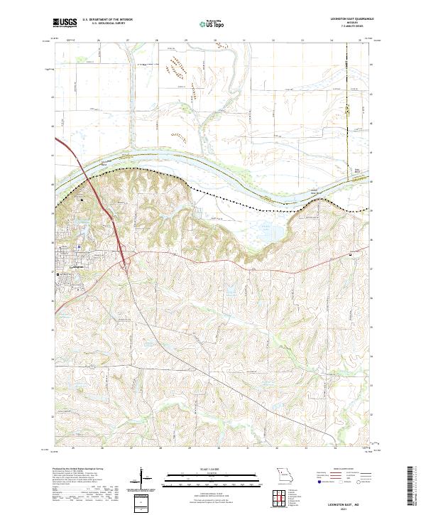
2021 Lexington East
Lafayette County, MO
2021 Odessa North
Lafayette County, MO
2021 Odessa South
Lafayette County, MO