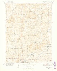
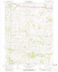
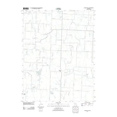
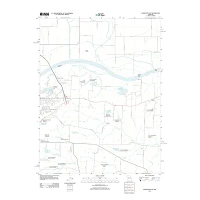
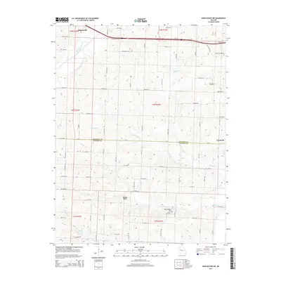
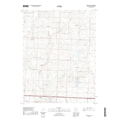
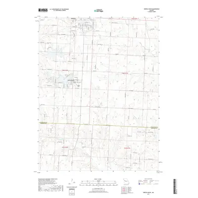
1950 Map of Odessa North
USGS Topo · Published 1950About this map
The town of Odessa anchors the southern portion of this mid-century Lafayette County landscape, where the Gulf Mobile and Ohio railroad corridor facilitates regional transport. This 1950 edition captures a rural Missouri society still organized around decentralized local institutions, evidenced by the numerous country schoolhouses such as Cabbage Neck Sch, Elmwood Sch, and Flournoy Sch scattered across the township lines of Lexington and Washington.
Find a feature on this map
36 named features on this map. Tap any name to fly to it.
Don’t see what you’re looking for? This feature index may not catch every label — zoom into the map to look around manually.
Map Details
Editions of this 1950 Odessa North Map
2 editions found
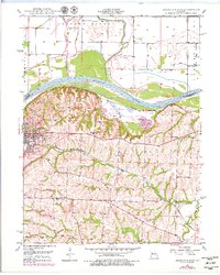
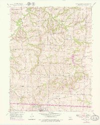
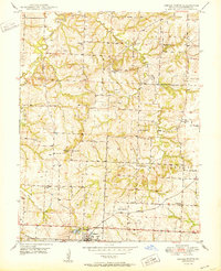
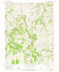
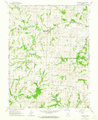
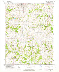
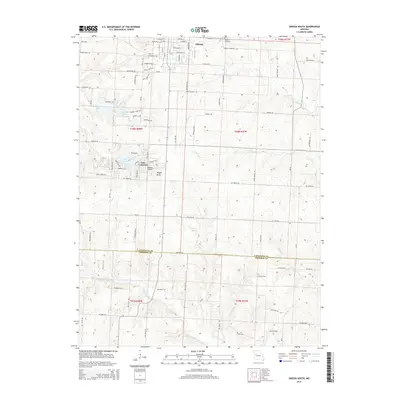
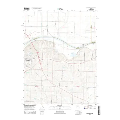
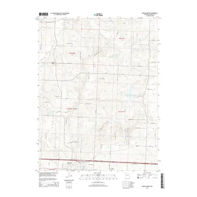
Historical Maps of Odessa Through Time
32 maps found
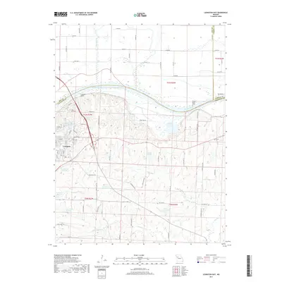
1949 Lexington East
Lafayette County, MO
1949 Odessa North
Lafayette County, MO

1950 Lexington East
Lafayette County, MO
1950 Odessa North
Lafayette County, MO
1961 Knob Noster NW
Lafayette County, MO
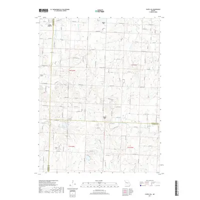
1963 Chapel Hill
Lafayette County, MO
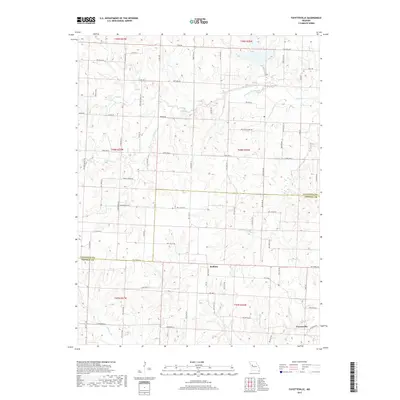
1963 Fayetteville
Lafayette County, MO
1963 Odessa South
Lafayette County, MO
2011 Chapel Hill
Lafayette County, MO
2011 Fayetteville
Lafayette County, MO
2011 Knob Noster NW
Lafayette County, MO
2011 Odessa South
Lafayette County, MO
2012 Lexington East
Lafayette County, MO
2012 Odessa North
Lafayette County, MO
2014 Chapel Hill
Lafayette County, MO
2014 Fayetteville
Lafayette County, MO
2014 Knob Noster NW
Lafayette County, MO
2014 Odessa South
Lafayette County, MO
2015 Lexington East
Lafayette County, MO
2015 Odessa North
Lafayette County, MO
2017 Chapel Hill
Lafayette County, MO
2017 Fayetteville
Lafayette County, MO

2017 Knob Noster NW
Lafayette County, MO
2017 Lexington East
Lafayette County, MO
2017 Odessa North
Lafayette County, MO
2017 Odessa South
Lafayette County, MO
2021 Chapel Hill
Lafayette County, MO
2021 Fayetteville
Lafayette County, MO
2021 Knob Noster NW
Lafayette County, MO
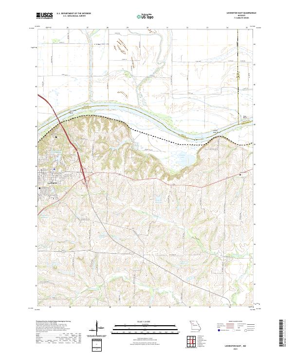
2021 Lexington East
Lafayette County, MO
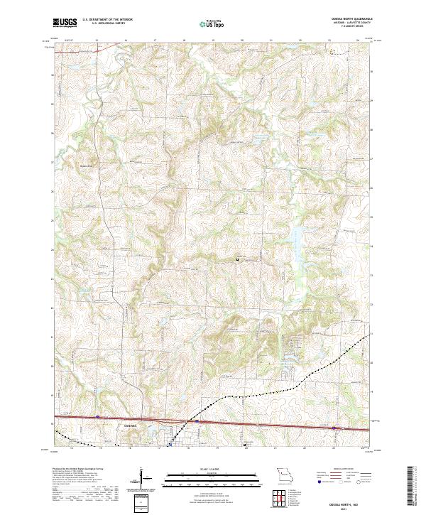
2021 Odessa North
Lafayette County, MO
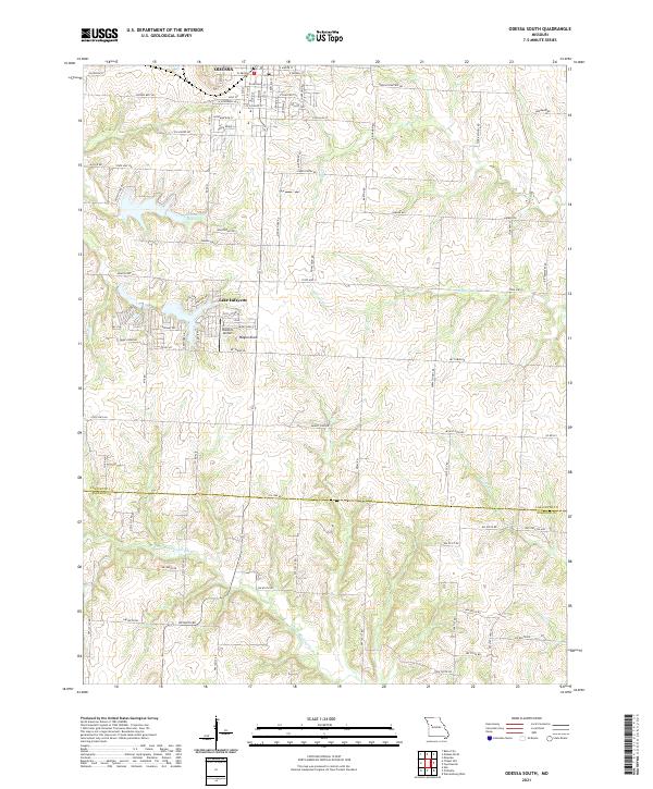
2021 Odessa South
Lafayette County, MO