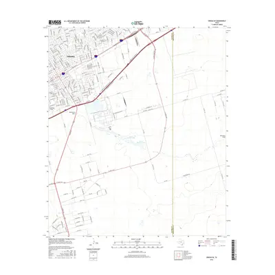
2016 Map of Odessa SE
USGS Topo · Published 2016About this map
Odessa sits at the core of this West Texas landscape, where the urban grid meets the industrial and agricultural expanse of the Permian Basin. The map illustrates the city's southeastern expansion, defined by major transit corridors such as E Bus Loop 20 and the dual routes of E Interstate 20 State Rte N and E Interstate 20 State Rte S. These arteries separate the denser residential blocks from the more open country to the south and east.
Find a feature on this map
189 named features on this map. Tap any name to fly to it.
Don’t see what you’re looking for? This feature index may not catch every label — zoom into the map to look around manually.
Map Details
Editions of this 2016 Odessa SE Map
This is the sole edition of this map. No revisions or reprints were ever made.
Other maps of this area

1954 · Pecos
USGS Topo · 1:250,000

1957 · Pecos
USGS Topo · 1:250,000

1964 · Odessa NE
USGS Topo · 1:24,000

1964 · Odessa SW
USGS Topo · 1:24,000

1964 · Odessa NW
USGS Topo · 1:24,000

1964 · Odessa SE
USGS Topo · 1:24,000

1964 · Parks
USGS Topo · 1:24,000

1964 · Clark Brothers Ranch
USGS Topo · 1:24,000

1965 · Southwest Midland
USGS Topo · 1:24,000

1965 · South Cowden Ranch
USGS Topo · 1:24,000