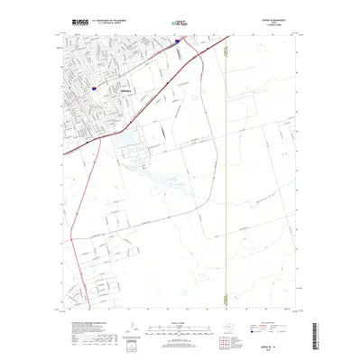
2019 Map of Odessa SE
USGS Topo · Published 2019About this map
Odessa expands across the southeastern reaches of Ector County in this 2019 survey, illustrating the dense grid of residential and commercial streets that define this West Texas hub. The urban layout is punctuated by specific neighborhood arteries such as E 25th St and E Pearl St, showing the steady march of development toward the Midland County line. To the south, the landscape shifts toward the ephemeral drainage patterns of the Permian Basin, where Muskingum Draw and Monahans Draw cross the terrain. This transition from the tightly packed blocks of central Odessa to more open areas featuring Averitt Number 2 Lake and Averitt Number 3 Lake provides a clear record of the city's interface with its natural hydrology and industrial corridors.
Find a feature on this map
201 named features on this map. Tap any name to fly to it.
Don’t see what you’re looking for? This feature index may not catch every label — zoom into the map to look around manually.
Map Details
Editions of this 2019 Odessa SE Map
This is the sole edition of this map. No revisions or reprints were ever made.
Other maps of this area

1954 · Pecos
USGS Topo · 1:250,000

1957 · Pecos
USGS Topo · 1:250,000

1964 · Odessa NE
USGS Topo · 1:24,000

1964 · Odessa SW
USGS Topo · 1:24,000

1964 · Odessa NW
USGS Topo · 1:24,000

1964 · Odessa SE
USGS Topo · 1:24,000

1964 · Parks
USGS Topo · 1:24,000

1964 · Clark Brothers Ranch
USGS Topo · 1:24,000

1965 · Southwest Midland
USGS Topo · 1:24,000

1965 · South Cowden Ranch
USGS Topo · 1:24,000