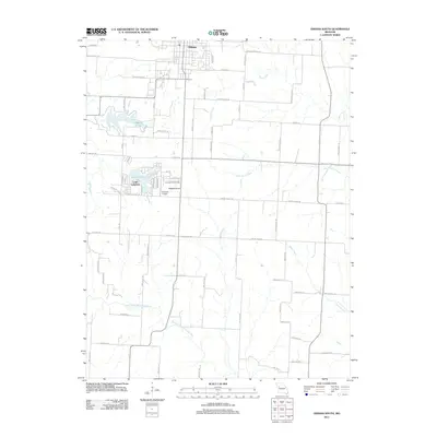
2011 Map of Odessa South
USGS Topo · Published 2011About this map
The town of Odessa anchors the northern edge of this West Central Missouri landscape, where the prairie transitions into a network of creek drainages. The local geography is defined by water and elevation, notably the high ground of Wagon Knob and the reservoir at Odessa Lake. To the south, the community of Lake Lafayette sits along its namesake water body, illustrating the residential development patterns that emerged around these managed lakes.
Find a feature on this map
51 named features on this map. Tap any name to fly to it.
Don’t see what you’re looking for? This feature index may not catch every label — zoom into the map to look around manually.
Map Details
Editions of this 2011 Odessa South Map
This is the sole edition of this map. No revisions or reprints were ever made.
Other maps of this area

1885 · Warrensburg
USGS Topo · 1:125,000

1887 · Harrisonville
USGS Topo · 1:125,000

1887 · Warrensburg
USGS Topo · 1:125,000

1889 · Lexington
USGS Topo · 1:125,000

1892 · Harrisonville
USGS Topo · 1:125,000

1894 · Harrisonville
USGS Topo · 1:125,000

1894 · Independence
USGS Topo · 1:125,000

1894 · Warrensburg
USGS Topo · 1:125,000

1947 · Jefferson City
USGS Topo · 1:250,000

1947 · Lawrence
USGS Topo · 1:250,000