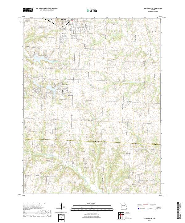
2021 Map of Odessa South
USGS Topo · Published 2021About this map
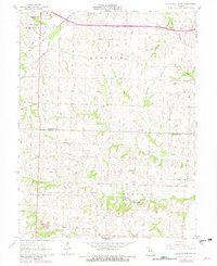
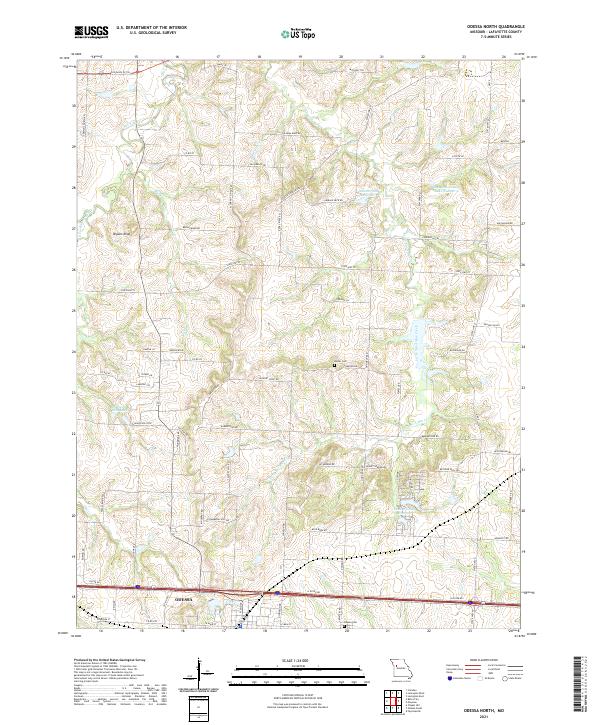
The southern outskirts of Odessa and the transition into rural Lafayette County define this landscape. Residential patterns are dense in the north along W Orchard St and W McDowell Ave, while the land to the south opens into a complex of water and elevation. The Odessa Old Reservoir and the more modern residential enclave at Lake Lafayette illustrate the area's development around local water resources. Significant topographic markers such as Wagon Knob and the winding N Fork Blackwater River break the agricultural grid. Historical memory is preserved through the Odessa Cemetery and roads like Opera House Ln and Cox School Rd, which hint at the earlier social and educational infrastructure that supported this farming community. The southern portion of the sheet reveals a more dissected terrain where S Davis Cr and Honey Cr meet the northern edges of Johnson County.
Find a feature on this map
65 named features on this map. Tap any name to fly to it.
Don’t see what you’re looking for? This feature index may not catch every label — zoom into the map to look around manually.
Map Details
Editions of this 2021 Odessa South Map
This is the sole edition of this map. No revisions or reprints were ever made.
Historical Maps of Odessa Through Time
14 maps found
1949 Lexington East
Lafayette County, MO
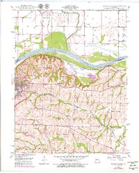
1949 Odessa North
Lafayette County, MO

1950 Lexington East
Lafayette County, MO
1950 Odessa North
Lafayette County, MO
1961 Knob Noster NW
Lafayette County, MO
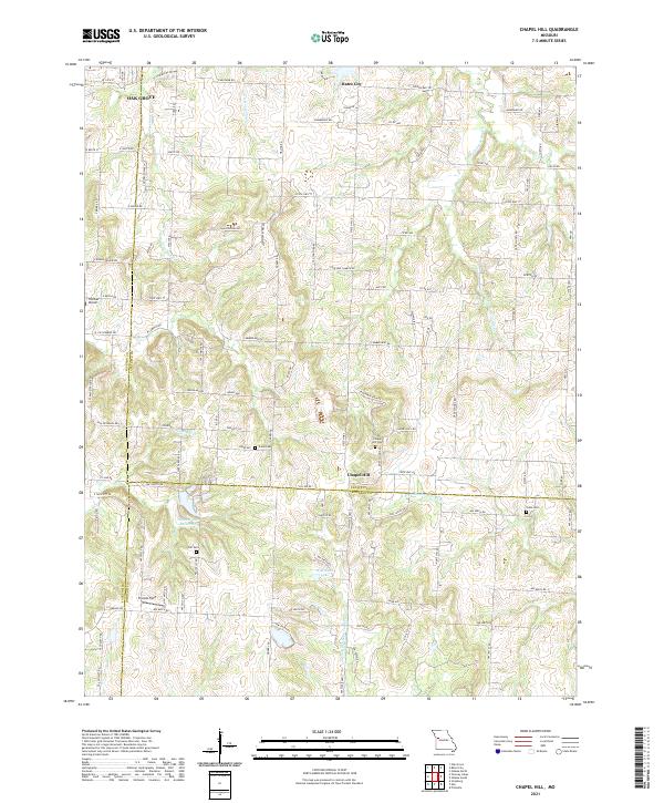
1963 Chapel Hill
Lafayette County, MO
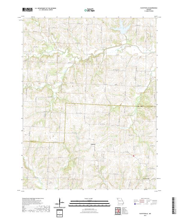
1963 Fayetteville
Lafayette County, MO
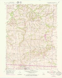
1963 Odessa South
Lafayette County, MO
2021 Chapel Hill
Lafayette County, MO
2021 Fayetteville
Lafayette County, MO
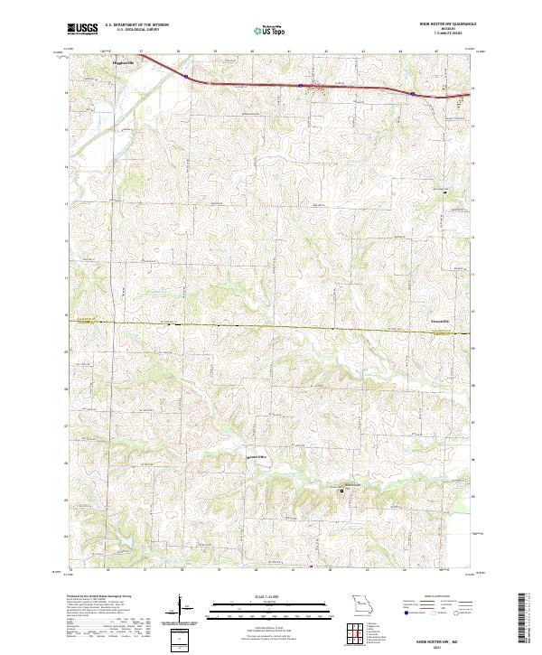
2021 Knob Noster NW
Lafayette County, MO
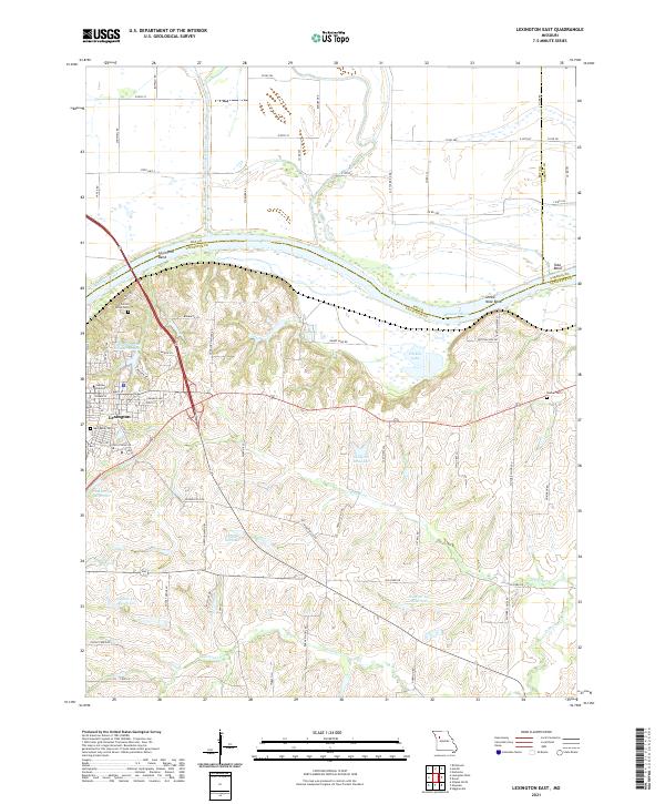
2021 Lexington East
Lafayette County, MO
2021 Odessa North
Lafayette County, MO
2021 Odessa South
Lafayette County, MO