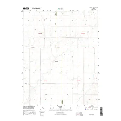
2015 Map of Offerle SE
USGS Topo · Published 2015About this map
The Arkansas River winds through the southeastern corner of this Ford County landscape, defining the local hydrology alongside the meandering path of Coon Cr. The terrain is strictly partitioned by the Public Land Survey System, with the boundary between Ford Co and Edwards Co following the north-south line of 136 Rd. This 2015 survey illustrates a rural interior dominated by an orderly grid of section-line roads, many of which carry descriptive or family names like Horseshoe Rd, Kettle Rd, and Foothill Rd. A prominent Correction Line Rd cuts east-to-west across the center of the sheet, reflecting the technical adjustments required by the Earth's curvature when surveying the Kansas plains. The map provides a precise look at the modern rural infrastructure, from the placement of individual structures to the naming of local thoroughfares like Garnett Rd and Jewell Rd.
Find a feature on this map
32 named features on this map. Tap any name to fly to it.
Don’t see what you’re looking for? This feature index may not catch every label — zoom into the map to look around manually.
Map Details
Editions of this 2015 Offerle SE Map
This is the sole edition of this map. No revisions or reprints were ever made.
Other maps of this area
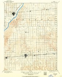
1889 · Kinsley
USGS Topo · 1:125,000
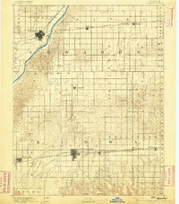
1892 · Kinsley
USGS Topo · 1:125,000
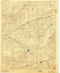
1892 · Spearville
USGS Topo · 1:125,000
1894 · Spearville
USGS Topo · 1:125,000
1894 · Kinsley
USGS Topo · 1:125,000
1955 · Pratt
USGS Topo · 1:250,000
1959 · Pratt
USGS Topo · 1:250,000
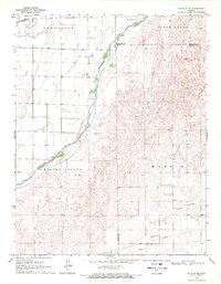
1969 · Bucklin NE
USGS Topo · 1:24,000
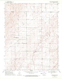
1969 · Greensburg NW
USGS Topo · 1:24,000
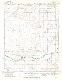
1969 · Bucklin NW
USGS Topo · 1:24,000