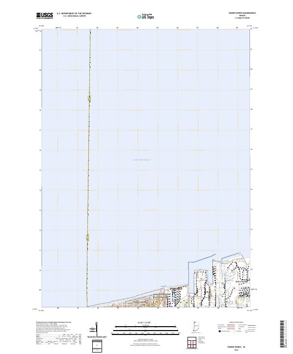
2022 Map of Ogden Dunes
USGS Topo · Published 2022About this map
Lake Michigan dominates the northern expanse of this 2022 survey, meeting the industrial and residential shoreline of northern Indiana. The community of Ogden Dunes is nestled along the coast, defined by a network of local roads including Shore Dr and Ogden Rd that navigate the unique topography near the Indiana Dunes National Park. This map reveals the sharp contrast between preserved natural areas and heavy industry, as the eastern portion of the sheet is occupied by large-scale facilities such as Midwest Steel and Mittal Steel. The residential areas of Portage and Burns Harbor further illustrate the development of this Porter County corridor. The boundary between Lake Co and Porter Co is clearly delineated, extending from the land out into the open water, marking the intersection of these two influential Indiana counties.
Find a feature on this map
26 named features on this map. Tap any name to fly to it.
Don’t see what you’re looking for? This feature index may not catch every label — zoom into the map to look around manually.
Map Details
Editions of this 2022 Ogden Dunes Map
This is the sole edition of this map. No revisions or reprints were ever made.
Other maps of this area

1900 · Toleston
USGS Topo · 1:62,500

1934 · Porter
USGS Topo · 1:48,000

1940 · Porter
USGS Topo · 1:62,500

1953 · Gary
USGS Topo · 1:24,000

1953 · Garyton
USGS Topo · 1:24,000

1953 · Ogden Dunes
USGS Topo · 1:24,000

1953 · Chesterton
USGS Topo · 1:24,000

1953 · Dune Acres
USGS Topo · 1:24,000

1953 · Chicago
USGS Topo · 1:250,000

1957 · Chicago
USGS Topo · 1:250,000