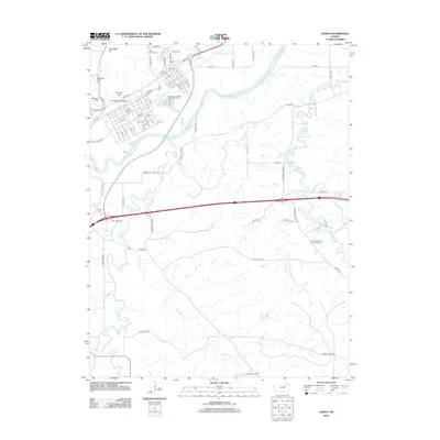
2012 Map of Ogden
USGS Topo · Published 2012About this map
Ogden serves as the central hub of this Riley County landscape, situated along the banks of the Kansas River. The town's grid is punctuated by local landmarks like the Post Office and the nearby Ogden Wastewater Treatment Facility. To the west, the terrain rises toward several prominent peaks including Packers Hill, Rodney Hill, and Sumner Hill, where the Funston Monument overlooks the valley. This 2012 survey captures a high level of detail for genealogists and local historians, mapping numerous burial grounds such as Saint Patricks Cemetery, Ogden Cemetery, and the Saint Joseph's Catholic Cemetery further south. The landscape is defined by the winding paths of Clarks Creek and Humboldt Creek, which flow through the agricultural lands south of the river, while Whiskey Lake remains a notable water feature near the western edge of the quadrangle.
Find a feature on this map
57 named features on this map. Tap any name to fly to it.
Don’t see what you’re looking for? This feature index may not catch every label — zoom into the map to look around manually.
Map Details
Editions of this 2012 Ogden Map
This is the sole edition of this map. No revisions or reprints were ever made.
Other maps of this area

1886 · Junction City
USGS Topo · 1:125,000

1889 · Junction City
USGS Topo · 1:125,000

1889 · Parkerville
USGS Topo · 1:125,000

1894 · Junction City
USGS Topo · 1:125,000

1894 · Parkerville
USGS Topo · 1:125,000

1947 · Manhattan
USGS Topo · 1:62,500

1947 · Fort Riley
USGS Topo · 1:62,500

1950 · Keats
USGS Topo · 1:24,000

1950 · Manhattan
USGS Topo · 1:24,000

1950 · Junction City
USGS Topo · 1:24,000