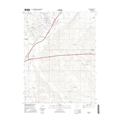
2015 Map of Ogden
USGS Topo · Published 2015About this map
Kansas River bottomlands and the surrounding uplands of the Riley and Geary county line define this mid-2010s landscape. The settlement of Ashland Bottoms occupies the fertile grounds near the river bend, while the Funston Monument stands as a prominent landmark on the northern heights near Packers Hill. This era shows a well-developed road network, including the Cimarron Trl and various numbered county routes, connecting dispersed rural homesteads and agricultural centers.
Find a feature on this map
82 named features on this map. Tap any name to fly to it.
Don’t see what you’re looking for? This feature index may not catch every label — zoom into the map to look around manually.
Map Details
Editions of this 2015 Ogden Map
This is the sole edition of this map. No revisions or reprints were ever made.
Other maps of this area

1886 · Junction City
USGS Topo · 1:125,000

1889 · Junction City
USGS Topo · 1:125,000

1889 · Parkerville
USGS Topo · 1:125,000

1894 · Junction City
USGS Topo · 1:125,000

1894 · Parkerville
USGS Topo · 1:125,000

1947 · Manhattan
USGS Topo · 1:62,500

1947 · Fort Riley
USGS Topo · 1:62,500

1950 · Keats
USGS Topo · 1:24,000

1950 · Manhattan
USGS Topo · 1:24,000

1950 · Junction City
USGS Topo · 1:24,000