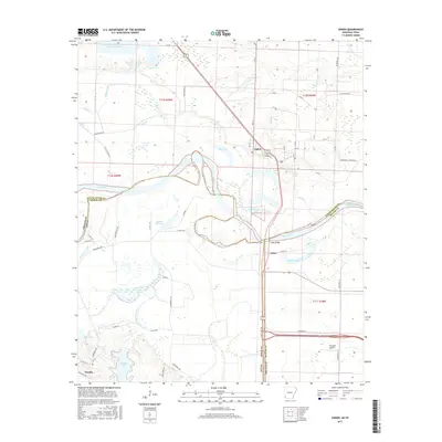
2017 Map of Ogden
USGS Topo · Published 2017About this map
The Red River carves a complex, winding path through this 2017 survey, defining the border between Arkansas and Texas. The landscape is dominated by the river's dynamic hydrology, evidenced by numerous oxbows and riparian bodies such as Brushy Lake, Cut-off Lake, and Mill Lake. The settlement of Ogden serves as a local hub near the Little River County line, while further south, the Index Bridge provides a vital crossing near the community of Index.
Find a feature on this map
71 named features on this map. Tap any name to fly to it.
Don’t see what you’re looking for? This feature index may not catch every label — zoom into the map to look around manually.
Map Details
Editions of this 2017 Ogden Map
This is the sole edition of this map. No revisions or reprints were ever made.
Other maps of this area

1909 · Texarkana
USGS Topo · 1:62,500

1950 · Ashdown East
USGS Topo · 1:24,000

1950 · Ashdown West
USGS Topo · 1:24,000

1950 · Ogden
USGS Topo · 1:24,000

1950 · Red Bluff
USGS Topo · 1:24,000

1950 · Barkman
USGS Topo · 1:24,000

1951 · Ashdown West
USGS Topo · 1:24,000

1951 · Ogden
USGS Topo · 1:24,000

1951 · Red Bluff
USGS Topo · 1:24,000

1951 · Ashdown East
USGS Topo · 1:24,000