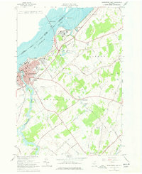
1963 Map of Ogdensburg East
USGS Topo · Published 1978About this map
The St Lawrence River frontage dominates this mid-century survey, highlighted by the sprawling grounds of the St Lawrence State Hospital and the Ogdensburg-Prescott International Bridge. The landscape transitions from the urbanized riverfront of Ogdensburg to the agricultural interior of Lisbon and Oswegatchie townships. Significant cemetery holdings, including State Hospital Cem, St Marys Cem, and Riverside Cem, offer valuable data for local genealogists.
Find a feature on this map
63 named features on this map. Tap any name to fly to it.
Don’t see what you’re looking for? This feature index may not catch every label — zoom into the map to look around manually.
Map Details
Editions of this 1963 Ogdensburg East Map
2 editions found
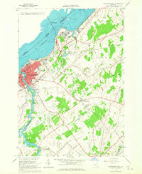
Other maps of this area

1904 · Lisbon
USGS Topo · 1:48,000

1904 · Ogdensburg
USGS Topo · 1:62,500

1905 · Ogdensburg
USGS Topo · 1:62,500

1906 · Brier Hill
USGS Topo · 1:62,500

1906 · Red Mills
USGS Topo · 1:62,500

1943 · Ogdensburg East
USGS Topo · 1:31,680

1943 · Rensselaer Falls
USGS Topo · 1:31,680

1943 · Lisbon
USGS Topo · 1:31,680
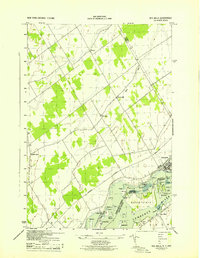
1943 · Red Mills
USGS Topo · 1:31,680
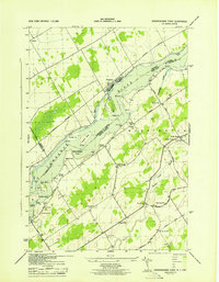
1943 · Sparrowhawk Point
USGS Topo · 1:31,680