
1905 Map of Ogdensburg
USGS Topo · Published 1905About this map
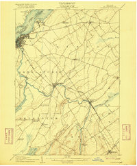
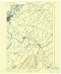
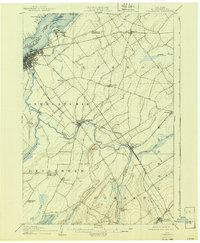
Ogdensburg sits as the primary hub of this 1905 landscape, positioned where the Oswegatchie River meets the St Lawrence River. The map documents a complex network of turn-of-the-century rail infrastructure, featuring the Rutland RR and the Ogdensburg Division of the New York Central and Hudson River RR. To the north, the sprawling grounds of the St Lawrence State Hospital occupy the riverside near Chimney Point. Further south, the rural character of St. Lawrence County is defined by small crossroads like Kings Corners Kokomo PO and specialized landmarks such as the McCormick Schoolhouse and Bell Schoolhouse. The southwestern corner is dominated by the expanse of Black Lake, while the rail junction at Dekalb Junction illustrates the connectivity required for the region's early twentieth-century economy.
Find a feature on this map
48 named features on this map. Tap any name to fly to it.
Don’t see what you’re looking for? This feature index may not catch every label — zoom into the map to look around manually.
Map Details
Editions of this 1905 Ogdensburg Map
4 editions found
Other maps of this area

1904 · Lisbon
USGS Topo · 1:48,000

1904 · Ogdensburg
USGS Topo · 1:62,500

1905 · Waddington
USGS Topo · 1:62,500

1906 · Brier Hill
USGS Topo · 1:62,500

1906 · Red Mills
USGS Topo · 1:62,500

1910 · Canton
USGS Topo · 1:62,500

1911 · Canton
USGS Topo · 1:62,500

1912 · Hammond
USGS Topo · 1:62,500

1915 · Gouverneur
USGS Topo · 1:62,500

1915 · Russell
USGS Topo · 1:62,500