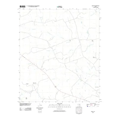
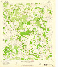
2010 Map of Ogles
USGS Topo · Published 2010About this map
Center Cemetery serves as a central landmark in this portion of Lampasas County, situated near the headwaters of School Creek. The landscape is defined by its dramatic relief, featuring prominent elevations such as Knight Mountain, Flat Top Peak, and the distinctive Twin Sister Peaks. These topographical markers provided essential navigation points for early travelers and ranchers moving across the central Texas terrain.
Find a feature on this map
27 named features on this map. Tap any name to fly to it.
Don’t see what you’re looking for? This feature index may not catch every label — zoom into the map to look around manually.
Map Details
Editions of this 2010 Ogles Map
This is the sole edition of this map. No revisions or reprints were ever made.
Other maps of this area

1887 · Lampasas
USGS Topo · 1:125,000

1894 · Lampasas
USGS Topo · 1:125,000

1954 · Brownwood
USGS Topo · 1:250,000

1954 · Evant
USGS Topo · 1:62,500

1954 · Lampasas
USGS Topo · 1:62,500

1954 · Lampasas
USGS Topo · 1:24,000
1954 · Flat Top Peak
USGS Topo · 1:24,000
1954 · Adamsville
USGS Topo · 1:24,000
1959 · Gorman Falls
USGS Topo · 1:24,000
1959 · Antelope Gap
USGS Topo · 1:24,000