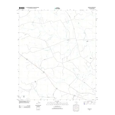
2012 Map of Ogles
USGS Topo · Published 2012About this map
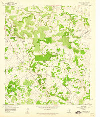
Center Cem serves as a central landmark in this ranching landscape of Lampasas County, where the terrain is defined by a series of prominent peaks and limestone-cut watercourses. The drainage patterns are dictated by the elevations of Knight Mtn and the Twin Mountains, with seasonal flow moving through Buck Hollow and into a network of creeks. The names printed here, such as School Cr and Blue Dog Cr, reflect the rural infrastructure and local lore of the central Texas hill country. While the primary transportation corridor is defined by Highway 183 and 190, a intricate web of county roads like Co RD-42 and Co RD-89 provides access to the dispersed properties. To the southwest, Twin Sister Peaks stands as a distinct topographical marker near the headwaters of Browns Cr.
Find a feature on this map
30 named features on this map. Tap any name to fly to it.
Don’t see what you’re looking for? This feature index may not catch every label — zoom into the map to look around manually.
Map Details
Editions of this 2012 Ogles Map
This is the sole edition of this map. No revisions or reprints were ever made.
Other maps of this area

1887 · Lampasas
USGS Topo · 1:125,000

1894 · Lampasas
USGS Topo · 1:125,000

1954 · Brownwood
USGS Topo · 1:250,000

1954 · Evant
USGS Topo · 1:62,500

1954 · Lampasas
USGS Topo · 1:62,500

1954 · Lampasas
USGS Topo · 1:24,000
1954 · Flat Top Peak
USGS Topo · 1:24,000
1954 · Adamsville
USGS Topo · 1:24,000
1959 · Gorman Falls
USGS Topo · 1:24,000
1959 · Antelope Gap
USGS Topo · 1:24,000