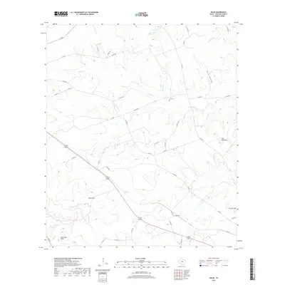
2019 Map of Ogles
USGS Topo · Published 2019About this map
Ogles Cem and Center Cem serve as quiet landmarks within this rural section of Lampasas County, where the landscape is defined by its drainages and prominent peaks. The topography is shaped by various waterways, including Barkley Cr, Blue Dog Cr, and School Cr, which carve through the terrain before feeding into larger systems. Local transit is dominated by the diagonal corridor of 183 190, cutting across a network of county roads like Co RD 2001 and Co RD 1301.
Find a feature on this map
47 named features on this map. Tap any name to fly to it.
Don’t see what you’re looking for? This feature index may not catch every label — zoom into the map to look around manually.
Map Details
Editions of this 2019 Ogles Map
This is the sole edition of this map. No revisions or reprints were ever made.
Other maps of this area
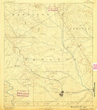
1887 · Lampasas
USGS Topo · 1:125,000
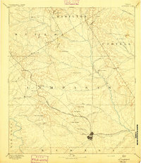
1894 · Lampasas
USGS Topo · 1:125,000

1954 · Brownwood
USGS Topo · 1:250,000
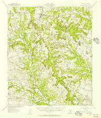
1954 · Evant
USGS Topo · 1:62,500
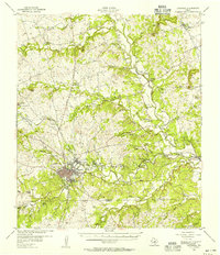
1954 · Lampasas
USGS Topo · 1:62,500
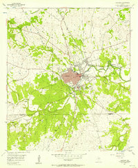
1954 · Lampasas
USGS Topo · 1:24,000
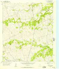
1954 · Flat Top Peak
USGS Topo · 1:24,000
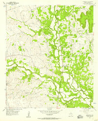
1954 · Adamsville
USGS Topo · 1:24,000
1959 · Gorman Falls
USGS Topo · 1:24,000
1959 · Antelope Gap
USGS Topo · 1:24,000