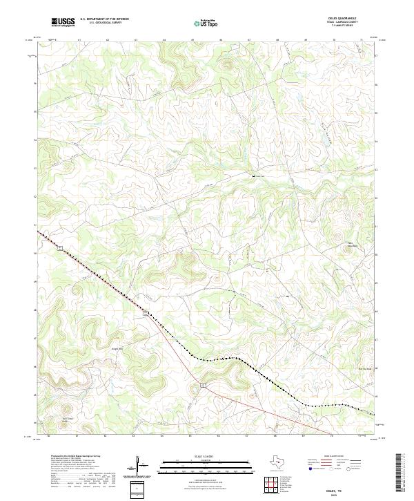
2022 Map of Ogles
USGS Topo · Published 2022About this map
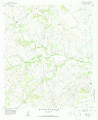
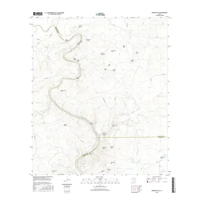
Center Cem sits at the heart of this Lampasas County landscape, a marker of early settlement amidst a complex network of seasonal drainage and elevated summits. The terrain is defined by a series of prominent peaks and ridgelines, including Knight Mtn, Flat Top Peak, and the distinct Twin Mountains. These elevations overlook a dense web of county and private roads that thread through the watershed of Blue Dog Cr, Barkley Cr, and School Cr.
Find a feature on this map
45 named features on this map. Tap any name to fly to it.
Don’t see what you’re looking for? This feature index may not catch every label — zoom into the map to look around manually.
Map Details
Editions of this 2022 Ogles Map
This is the sole edition of this map. No revisions or reprints were ever made.
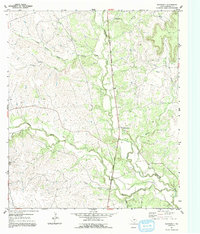
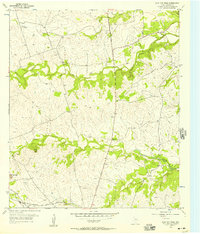
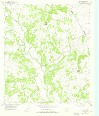
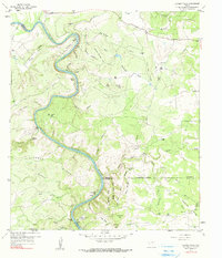
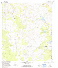
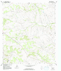
Historical Maps of Ogles Through Time
42 maps found
1954 Adamsville
Lampasas County, TX
1954 Flat Top Peak
Lampasas County, TX
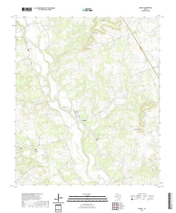
1954 Rumley
Lampasas County, TX
1959 Castle Peak
Lampasas County, TX
1959 Gorman Falls
Lampasas County, TX
1959 Nix
Lampasas County, TX
1959 Ogles
Lampasas County, TX
2010 Adamsville
Lampasas County, TX
2010 Castle Peak
Lampasas County, TX
2010 Flat Top Peak
Lampasas County, TX
2010 Gorman Falls
Lampasas County, TX
2010 Nix
Lampasas County, TX
2010 Ogles
Lampasas County, TX
2010 Rumley
Lampasas County, TX
2012 Adamsville
Lampasas County, TX

2012 Castle Peak
Lampasas County, TX
2012 Flat Top Peak
Lampasas County, TX
2012 Ogles
Lampasas County, TX
2012 Rumley
Lampasas County, TX
2013 Gorman Falls
Lampasas County, TX
2014 Nix
Lampasas County, TX
2016 Adamsville
Lampasas County, TX
2016 Castle Peak
Lampasas County, TX
2016 Flat Top Peak
Lampasas County, TX
2016 Gorman Falls
Lampasas County, TX
2016 Nix
Lampasas County, TX
2016 Ogles
Lampasas County, TX
2016 Rumley
Lampasas County, TX
2019 Adamsville
Lampasas County, TX
2019 Castle Peak
Lampasas County, TX
2019 Flat Top Peak
Lampasas County, TX
2019 Gorman Falls
Lampasas County, TX
2019 Nix
Lampasas County, TX
2019 Ogles
Lampasas County, TX
2019 Rumley
Lampasas County, TX
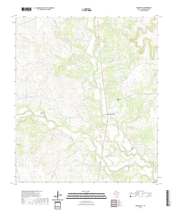
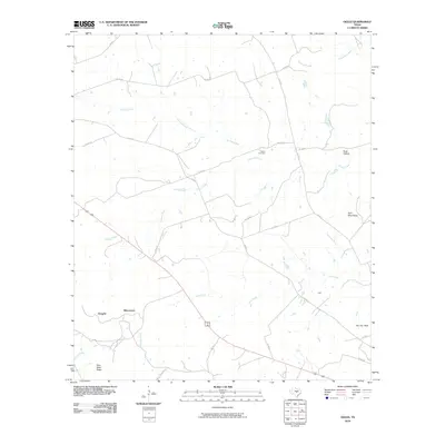
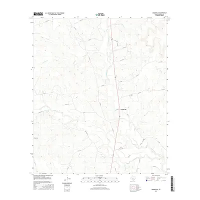
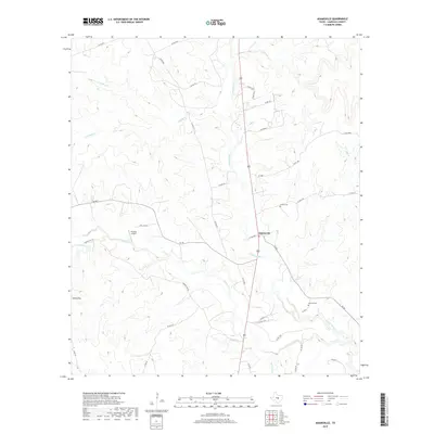
2022 Adamsville
Lampasas County, TX
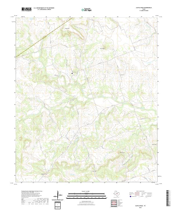
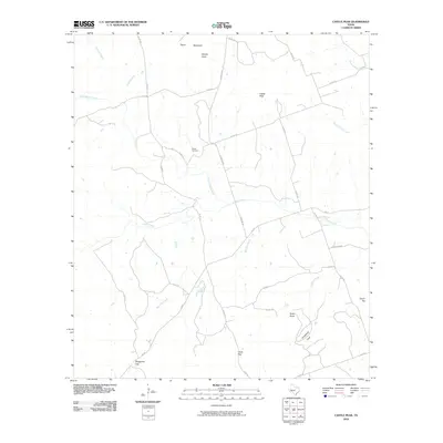
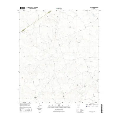
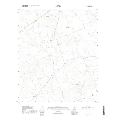
2022 Castle Peak
Lampasas County, TX
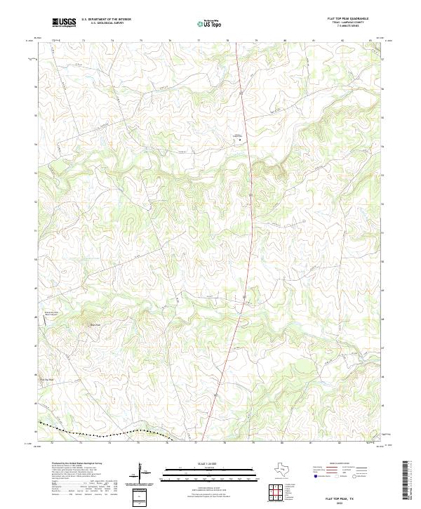
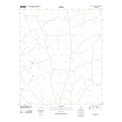
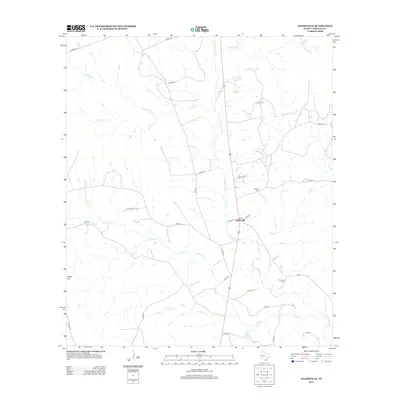
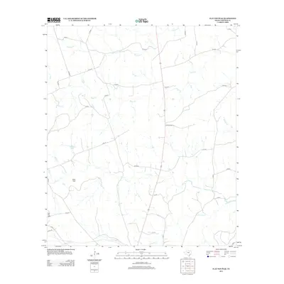
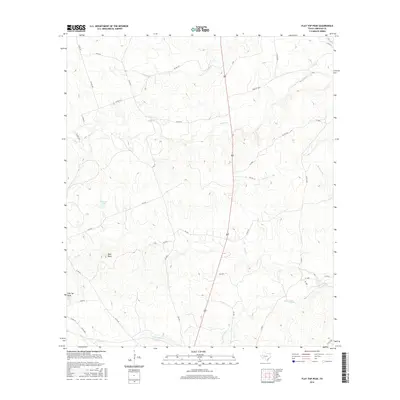
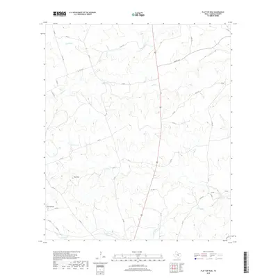
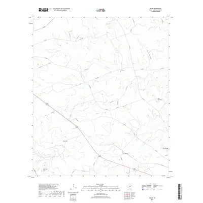
2022 Flat Top Peak
Lampasas County, TX
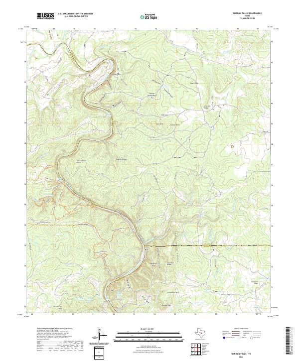
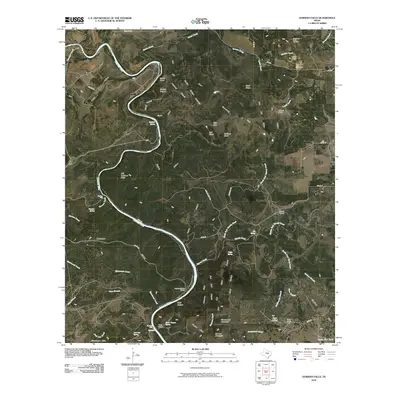
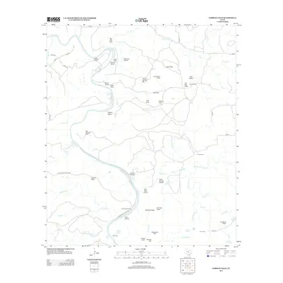
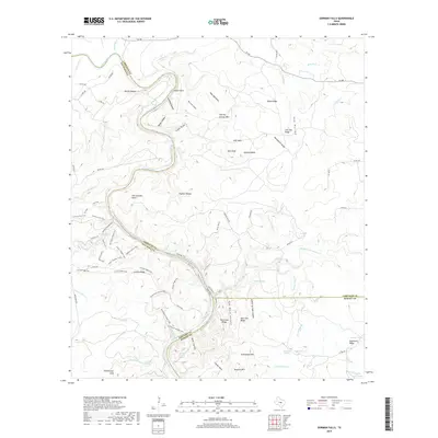
2022 Gorman Falls
Lampasas County, TX
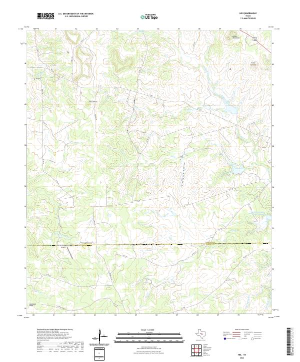
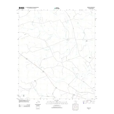
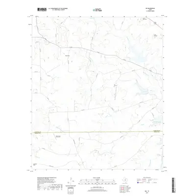
2022 Nix
Lampasas County, TX
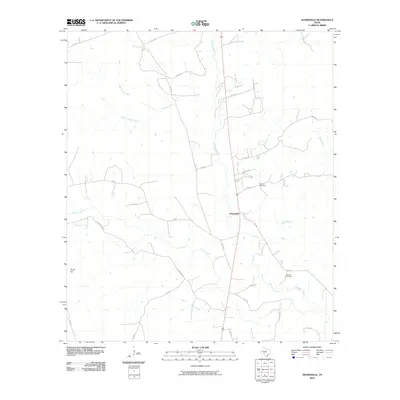
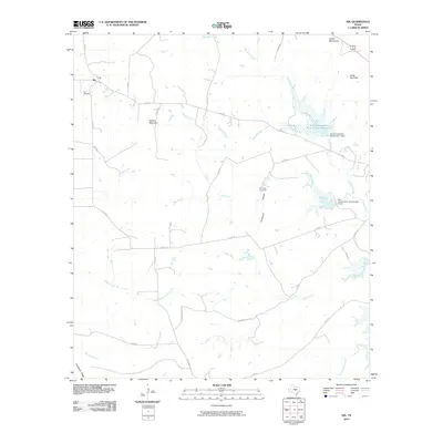
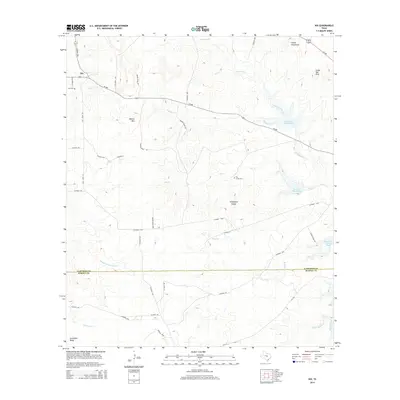
2022 Ogles
Lampasas County, TX
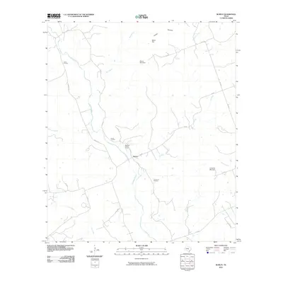
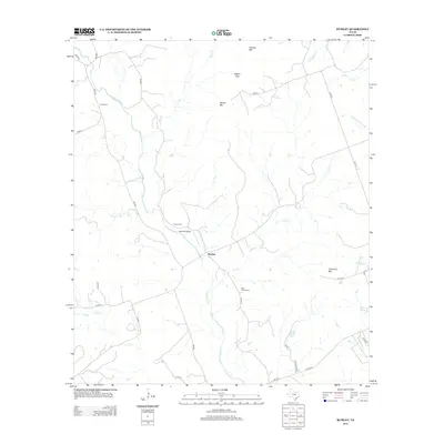
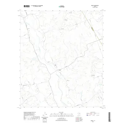
2022 Rumley
Lampasas County, TX