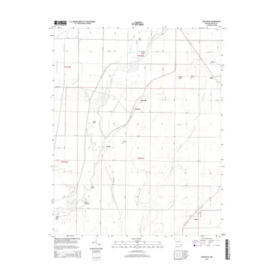
2015 Map of Oglesville
USGS Topo · Published 2015About this map
Qulin and Oglesville anchor this corner of Butler County, where the landscape is defined by an intricate network of waterways and managed drainage. The Black River snakes through the western portion of the quadrangle, creating notable features such as Devils Elbow, Shotgun Bend, and the high ground of Gillis Bluff. To the east, Melville Ridge provides a distinct topographic contrast to the surrounding lowlands.
Find a feature on this map
74 named features on this map. Tap any name to fly to it.
Don’t see what you’re looking for? This feature index may not catch every label — zoom into the map to look around manually.
Map Details
Editions of this 2015 Oglesville Map
This is the sole edition of this map. No revisions or reprints were ever made.
Other maps of this area
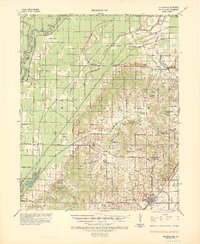
1935 · Rector
USGS Topo · 1:62,500
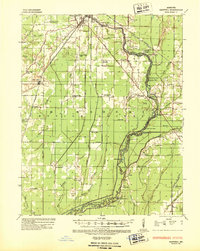
1935 · Harviell
USGS Topo · 1:62,500
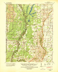
1940 · Valley Ridge
USGS Topo · 1:62,500
1940 · Piggott
USGS Topo · 1:62,500
1956 · Valley Ridge
USGS Topo · 1:62,500
1956 · Piggott
USGS Topo · 1:62,500

1957 · Poplar Bluff
USGS Topo · 1:250,000
1958 · Rector
USGS Topo · 1:62,500
1959 · Poplar Bluff
USGS Topo · 1:250,000
1960 · Rector
USGS Topo · 1:62,500