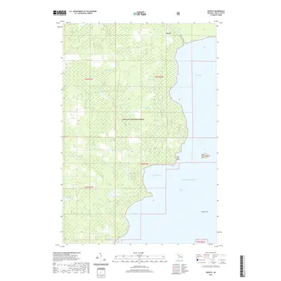
2019 Map of Ogontz
USGS Topo · Published 2019About this map
The settlement of Ogontz sits near the northern reaches of the Hiawatha National Forest in this 2019 survey of the Upper Peninsula’s shoreline. The landscape is dominated by the transition from dense forest to the waters of Lake Michigan, where the jagged coastline forms Ogontz Bay and Martin Bay. Inland, the terrain is defined by a complex network of wetlands and small water bodies, including Indian Town Lake, Bouford Lake, and Lake Little Sixteen. These interior waters are connected by the Ogontz River, Little River, and Big River, reflecting the traditional drainage patterns of the Bay de Noc region. Along the coast, distinct maritime landmarks such as Saint Vital Point and the offshore Saint Vital Island provide essential navigation points for the Big Bay de Noc. This survey provides a precise modern record of the shoreline and public land boundaries during the early twenty-first century.
Find a feature on this map
23 named features on this map. Tap any name to fly to it.
Don’t see what you’re looking for? This feature index may not catch every label — zoom into the map to look around manually.
Map Details
Editions of this 2019 Ogontz Map
This is the sole edition of this map. No revisions or reprints were ever made.
Other maps of this area
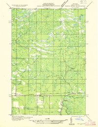
1932 · Rapid River NE
USGS Topo · 1:31,680
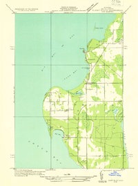
1932 · Burnt Bluff NW
USGS Topo · 1:31,680
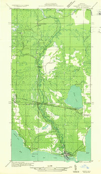
1932 · Garden NW and SW
USGS Topo · 1:31,680
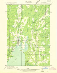
1932 · Rapid River NW
USGS Topo · 1:31,680
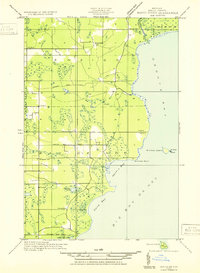
1932 · Rapid River SE
USGS Topo · 1:31,680
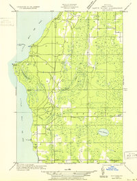
1932 · Rapid River SW
USGS Topo · 1:31,680
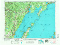
1954 · Escanaba
USGS Topo · 1:250,000
1957 · Escanaba
USGS Topo · 1:250,000
1958 · Escanaba
USGS Topo · 1:250,000
1958 · Garden
USGS Topo · 1:62,500