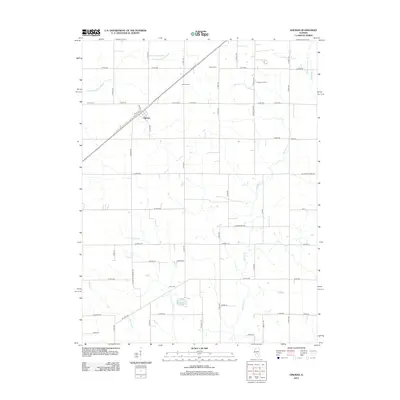
2012 Map of Ohlman
USGS Topo · Published 2012About this map
Ohlman serves as the primary hub of this Montgomery County landscape, situated along the railroad line as it cuts diagonally through the rural township. The surrounding terrain is defined by a dense network of country roads and several named waterways, including the S Fork Sangamon River in the northwest and Ramsey Cr winding through the eastern portion. Family farming operations such as Fikan Farms and Green Acre Farm reflect the agricultural heritage of the area, while the presence of Ohlman Cem and Zion Cem provide critical touchpoints for genealogists researching the region's early residents.
Find a feature on this map
60 named features on this map. Tap any name to fly to it.
Don’t see what you’re looking for? This feature index may not catch every label — zoom into the map to look around manually.
Map Details
Editions of this 2012 Ohlman Map
This is the sole edition of this map. No revisions or reprints were ever made.
Other maps of this area

1944 · Ramsey
USGS Topo · 1:62,500

1946 · Ramsey
USGS Topo · 1:62,500

1946 · Nokomis
USGS Topo · 1:62,500

1947 · Pana
USGS Topo · 1:62,500

1947 · Hillsboro
USGS Topo · 1:62,500

1949 · Hillsboro
USGS Topo · 1:62,500

1949 · Nokomis
USGS Topo · 1:62,500

1949 · Pana
USGS Topo · 1:62,500

1958 · Decatur
USGS Topo · 1:250,000

1961 · Decatur
USGS Topo · 1:250,000