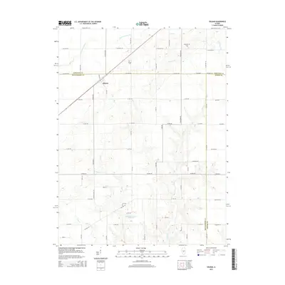
2015 Map of Ohlman
USGS Topo · Published 2015About this map
Ohlman stands as the primary settlement in this rural landscape where the borders of Christian, Montgomery, and Shelby counties converge. The terrain is defined by a dendritic network of waterways including the S Fork Sangamon River in the northwest and Ramsey Cr, which meanders through the eastern half of the quadrangle. This 2015 survey illustrates a persistent agricultural grid punctuated by several local landmarks vital to the area's genealogical record. Researchers will find several burial sites preserved among the fields, such as Rosamond Grove Cem and Ohlman Cem. In the southern portion of the map, the Nokomis Sportsman Club Lake and Zion Cem mark local points of interest along Elliott Cr. The map provides a clear view of the rural road system, from established routes like Oconee Ave to smaller connectors like Stringtown Rd.
Find a feature on this map
59 named features on this map. Tap any name to fly to it.
Don’t see what you’re looking for? This feature index may not catch every label — zoom into the map to look around manually.
Map Details
Editions of this 2015 Ohlman Map
This is the sole edition of this map. No revisions or reprints were ever made.
Other maps of this area
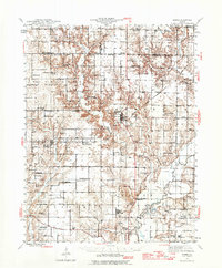
1944 · Ramsey
USGS Topo · 1:62,500
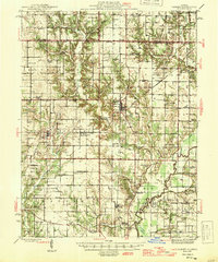
1946 · Ramsey
USGS Topo · 1:62,500
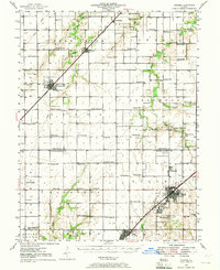
1946 · Nokomis
USGS Topo · 1:62,500
1947 · Pana
USGS Topo · 1:62,500
1947 · Hillsboro
USGS Topo · 1:62,500
1949 · Hillsboro
USGS Topo · 1:62,500
1949 · Nokomis
USGS Topo · 1:62,500
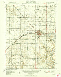
1949 · Pana
USGS Topo · 1:62,500
1958 · Decatur
USGS Topo · 1:250,000
1961 · Decatur
USGS Topo · 1:250,000