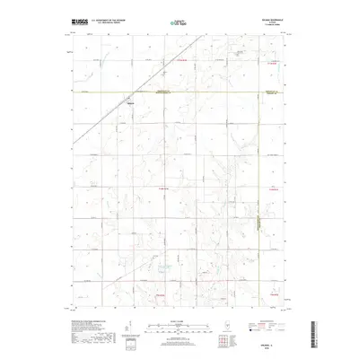
2018 Map of Ohlman
USGS Topo · Published 2018About this map
Ohlman stands as a focal point in this Central Illinois landscape where the agricultural grid is etched across the intersection of Christian, Montgomery, and Shelby counties. The terrain is defined by the drainage network of the S Fork Sangamon River and several smaller tributaries like Cotton Creek and Ramsey Creek, which carve gentle incisions into the prairie. This 2018 survey reveals a rural area deeply connected to its community roots, as evidenced by several well-maintained grounds including Ohlman Cemetery, Rosemond Grove Cemetery, and Zion Cemetery.
Find a feature on this map
66 named features on this map. Tap any name to fly to it.
Don’t see what you’re looking for? This feature index may not catch every label — zoom into the map to look around manually.
Map Details
Editions of this 2018 Ohlman Map
This is the sole edition of this map. No revisions or reprints were ever made.
Other maps of this area
1944 · Ramsey
USGS Topo · 1:62,500
1946 · Ramsey
USGS Topo · 1:62,500
1946 · Nokomis
USGS Topo · 1:62,500
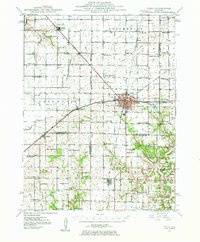
1947 · Pana
USGS Topo · 1:62,500
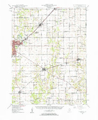
1947 · Hillsboro
USGS Topo · 1:62,500
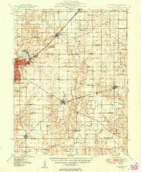
1949 · Hillsboro
USGS Topo · 1:62,500
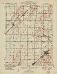
1949 · Nokomis
USGS Topo · 1:62,500
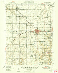
1949 · Pana
USGS Topo · 1:62,500
1958 · Decatur
USGS Topo · 1:250,000
1961 · Decatur
USGS Topo · 1:250,000