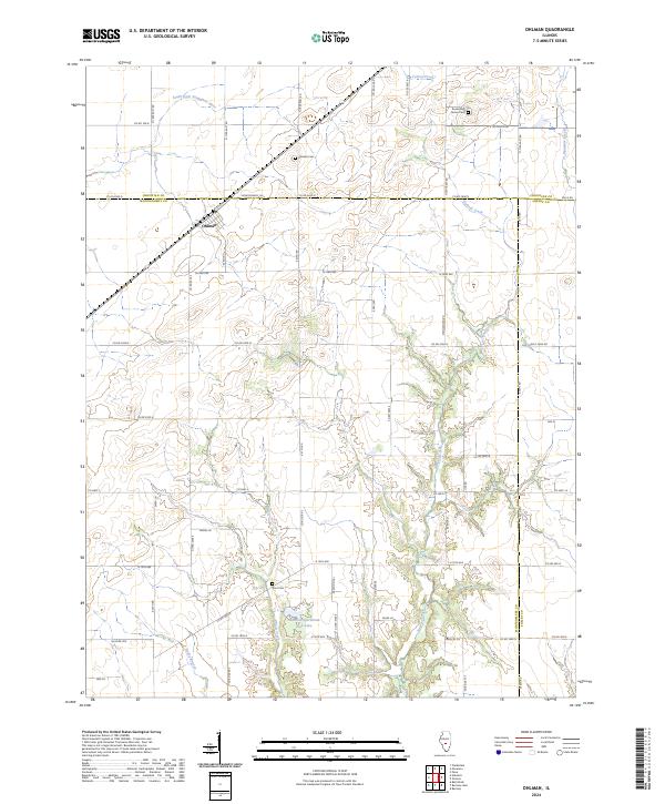
2024 Map of Ohlman
USGS Topo · Published 2024About this map
Ohlman stands as the primary settlement on this Illinois prairie landscape, situated near the intersection of the Christian and Montgomery county lines. The town's layout is closely tied to the railroad corridor, with 1st St and the surrounding street grid oriented to the tracks. The surrounding rural territory is defined by a dense network of watercourses, including the South Fork Sangamon River in the northwest and the winding paths of Ramsey Creek and Elliott Creek to the south.
Find a feature on this map
62 named features on this map. Tap any name to fly to it.
Don’t see what you’re looking for? This feature index may not catch every label — zoom into the map to look around manually.
Map Details
Editions of this 2024 Ohlman Map
This is the sole edition of this map. No revisions or reprints were ever made.
Other maps of this area

1944 · Ramsey
USGS Topo · 1:62,500

1946 · Ramsey
USGS Topo · 1:62,500

1946 · Nokomis
USGS Topo · 1:62,500

1947 · Pana
USGS Topo · 1:62,500

1947 · Hillsboro
USGS Topo · 1:62,500

1949 · Hillsboro
USGS Topo · 1:62,500

1949 · Nokomis
USGS Topo · 1:62,500

1949 · Pana
USGS Topo · 1:62,500

1958 · Decatur
USGS Topo · 1:250,000

1961 · Decatur
USGS Topo · 1:250,000