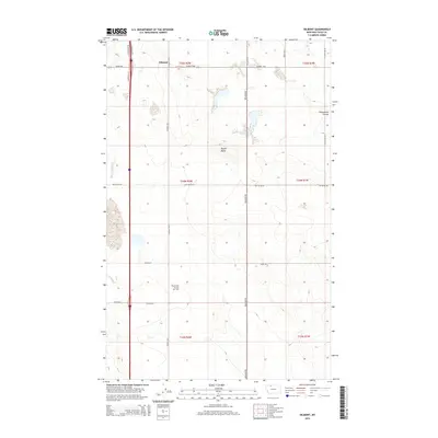
2014 Map of Oilmont
USGS Topo · Published 2014About this map
Oilmont sits as the central point of this high plains landscape in Toole County, where the industrial legacy of the region is clearly marked by the Prairie Dell Oil and Gas Field. The terrain is defined by the elevation of Raglan Butte and the drainage of Fifteenmile Coulee, illustrating the sparse but purposeful layout of north-central Montana. The map reveals a grid of essential local thoroughfares like Oilmont Hwy and Kevin Hwy, which link the small settlement to the surrounding ranching and resource extraction lands.
Find a feature on this map
26 named features on this map. Tap any name to fly to it.
Don’t see what you’re looking for? This feature index may not catch every label — zoom into the map to look around manually.
Map Details
Editions of this 2014 Oilmont Map
This is the sole edition of this map. No revisions or reprints were ever made.
Other maps of this area
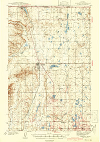
1939 · Sunburst
USGS Topo · 1:62,500
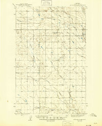
1943 · Antelope Coulee
USGS Topo · 1:62,500
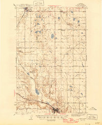
1943 · Shelby
USGS Topo · 1:62,500
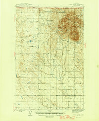
1945 · West Butte
USGS Topo · 1:62,500
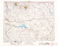
1954 · Shelby
USGS Topo · 1:250,000
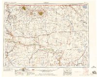
1958 · Shelby
USGS Topo · 1:250,000
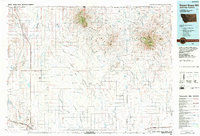
1984 · Sweet Grass Hills
USGS Topo · 1:100,000
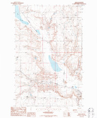
1986 · Virden
USGS Topo · 1:24,000
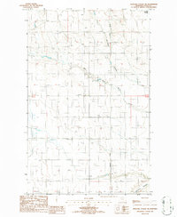
1986 · Antelope Coulee SW
USGS Topo · 1:24,000
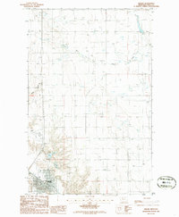
1986 · Shelby
USGS Topo · 1:24,000