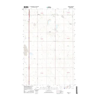
2017 Map of Oilmont
USGS Topo · Published 2017About this map
Oilmont stands as the primary focal point of this northern Montana landscape, situated near the intersection of several local routes in Toole County. This high-plains region is characterized by a grid of agricultural and access roads, including Oilmont N and Co Rd 343, which delineate the prairie sections. The terrain is marked by notable geological features such as the prominent Raglan Butte and the drainage of Fifteenmile Coulee to the northeast. A network of rural tracks and named thoroughfares, such as Gus Blaze Rd and Sauby Rd, reveal the persistent township and range patterns of the area. These survey lines, such as t34n r2w, reflect the systematic division of the land for ranching and resource extraction in this part of the state.
Find a feature on this map
20 named features on this map. Tap any name to fly to it.
Don’t see what you’re looking for? This feature index may not catch every label — zoom into the map to look around manually.
Map Details
Editions of this 2017 Oilmont Map
This is the sole edition of this map. No revisions or reprints were ever made.
Other maps of this area
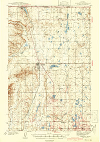
1939 · Sunburst
USGS Topo · 1:62,500
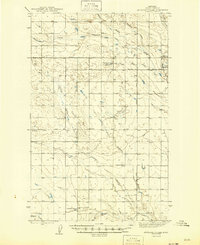
1943 · Antelope Coulee
USGS Topo · 1:62,500
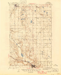
1943 · Shelby
USGS Topo · 1:62,500
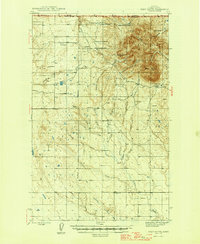
1945 · West Butte
USGS Topo · 1:62,500
1954 · Shelby
USGS Topo · 1:250,000
1958 · Shelby
USGS Topo · 1:250,000
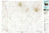
1984 · Sweet Grass Hills
USGS Topo · 1:100,000
1986 · Virden
USGS Topo · 1:24,000
1986 · Antelope Coulee SW
USGS Topo · 1:24,000
1986 · Shelby
USGS Topo · 1:24,000