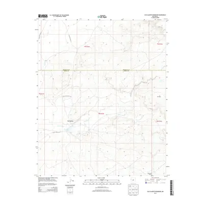
2013 Map of Ojo Caliente Reservoir
USGS Topo · Published 2013About this map
Ojo Caliente sits at the heart of this landscape, positioned north of the Ojo Caliente Reservoir in Cibola County. The area is defined by its complex drainage systems and traditional water sources, including the named Sacred Spring and Rainbow Spring. These features suggest the long-standing importance of this particular basin for settlement and subsistence in a desert environment.
Find a feature on this map
19 named features on this map. Tap any name to fly to it.
Don’t see what you’re looking for? This feature index may not catch every label — zoom into the map to look around manually.
Map Details
Editions of this 2013 Ojo Caliente Reservoir Map
This is the sole edition of this map. No revisions or reprints were ever made.
Other maps of this area
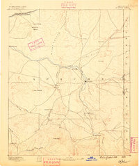
1886 · St Johns
USGS Topo · 1:250,000
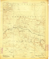
1886 · Wingate
USGS Topo · 1:250,000
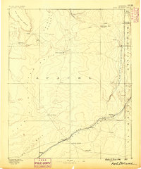
1886 · Fort Defiance
USGS Topo · 1:250,000
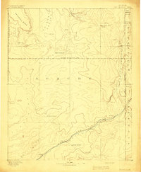
1892 · Fort Defiance
USGS Topo · 1:250,000
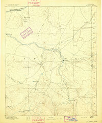
1892 · St Johns
USGS Topo · 1:250,000
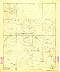
1892 · Wingate
USGS Topo · 1:250,000

1954 · Saint Johns
USGS Topo · 1:250,000

1954 · Gallup
USGS Topo · 1:250,000

1957 · Saint Johns
USGS Topo · 1:250,000

1958 · Gallup
USGS Topo · 1:250,000