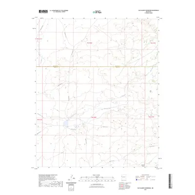
2023 Map of Ojo Caliente Reservoir
USGS Topo · Published 2023About this map
The Zuñi River flows through this high-desert landscape on the border of McKinley and Cibola counties, anchoring a network of traditional routes and seasonal watercourses. The presence of Rainbow Spring and Sacred Spring points to the vital importance of permanent water sources in this arid environment, where drainage systems like Plumasano Wash and Willow Wash define the terrain.
Find a feature on this map
25 named features on this map. Tap any name to fly to it.
Don’t see what you’re looking for? This feature index may not catch every label — zoom into the map to look around manually.
Map Details
Editions of this 2023 Ojo Caliente Reservoir Map
This is the sole edition of this map. No revisions or reprints were ever made.
Other maps of this area

1886 · St Johns
USGS Topo · 1:250,000

1886 · Wingate
USGS Topo · 1:250,000

1886 · Fort Defiance
USGS Topo · 1:250,000

1892 · Fort Defiance
USGS Topo · 1:250,000

1892 · St Johns
USGS Topo · 1:250,000

1892 · Wingate
USGS Topo · 1:250,000

1954 · Saint Johns
USGS Topo · 1:250,000

1954 · Gallup
USGS Topo · 1:250,000

1957 · Saint Johns
USGS Topo · 1:250,000

1958 · Gallup
USGS Topo · 1:250,000