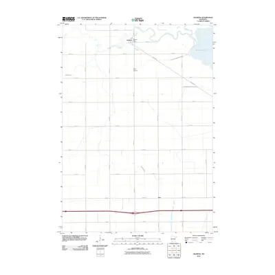
2010 Map of Okabena
USGS Topo · Published 2010About this map
Okabena serves as the primary hub in this southwestern Minnesota landscape, centered around the Okabena Post Office and a grid of rural avenues. The terrain is defined by a complex network of natural and engineered waterways, where the Okabena Creek meanders toward South Lake Heron in the northeast corner. This water management is further evidenced by significant drainage projects, such as Judicial Ditch Number Thirtyone and Judicial Ditch Number Seventeen, which intersect the agricultural sections to the east.
Find a feature on this map
26 named features on this map. Tap any name to fly to it.
Don’t see what you’re looking for? This feature index may not catch every label — zoom into the map to look around manually.
Map Details
Editions of this 2010 Okabena Map
This is the sole edition of this map. No revisions or reprints were ever made.
Other maps of this area

1954 · Fairmont
USGS Topo · 1:250,000

1958 · Fairmont
USGS Topo · 1:250,000

1960 · Brewster
USGS Topo · 1:24,000

1960 · Okabena
USGS Topo · 1:24,000

1960 · Round Lake
USGS Topo · 1:24,000

1960 · Sioux Valley
USGS Topo · 1:24,000

1970 · Lakefield SW
USGS Topo · 1:24,000

1970 · Dundee
USGS Topo · 1:24,000

1970 · Wilder
USGS Topo · 1:24,000

1970 · Lakefield
USGS Topo · 1:24,000