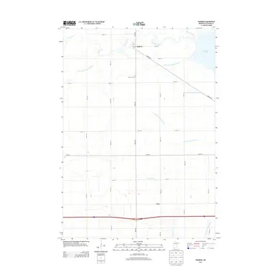
2013 Map of Okabena
USGS Topo · Published 2013About this map
Okabena anchors this Jackson County landscape, situated near the western shore of South Heron Lake and the winding course of Okabena Creek. The region is defined by a sophisticated water management network, where numerous engineered waterways like Judicial Ditch Number Thirtyone and Judicial Ditch Number Eightyfive traverse the agricultural grid. These ditches highlight the long-term transformation of the prairie into productive farmland. To the south, the settlement of Rost sits near the headwaters of the Little Sioux River, illustrating the area's dual orientation toward both the Minnesota and Missouri River drainage basins. Local history and genealogy interests are anchored by Saint John's Cem, located centrally between the primary settlements. The survey also preserves the precise locations of rural infrastructure, such as the Po in Okabena, and the strictly organized road system of avenues and streets that connects isolated farmsteads across the township.
Find a feature on this map
28 named features on this map. Tap any name to fly to it.
Don’t see what you’re looking for? This feature index may not catch every label — zoom into the map to look around manually.
Map Details
Editions of this 2013 Okabena Map
This is the sole edition of this map. No revisions or reprints were ever made.
Other maps of this area

1954 · Fairmont
USGS Topo · 1:250,000

1958 · Fairmont
USGS Topo · 1:250,000

1960 · Brewster
USGS Topo · 1:24,000

1960 · Okabena
USGS Topo · 1:24,000

1960 · Round Lake
USGS Topo · 1:24,000

1960 · Sioux Valley
USGS Topo · 1:24,000

1970 · Lakefield SW
USGS Topo · 1:24,000

1970 · Dundee
USGS Topo · 1:24,000

1970 · Wilder
USGS Topo · 1:24,000

1970 · Lakefield
USGS Topo · 1:24,000