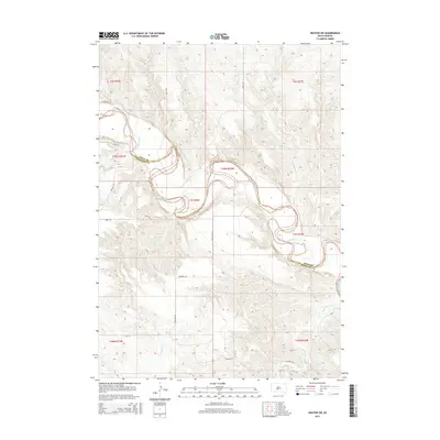
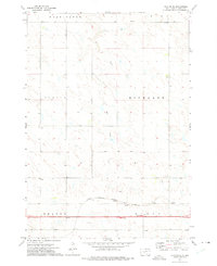
2015 Map of Okaton SW
USGS Topo · Published 2015About this map
The White River carves a deep, sinuous path through the landscape of the Jones Co Mellette Co border. This section of the Swift Bear Segment is characterized by the complex drainage systems of Cottonwood Cr and Yukon Cr, which feed into the main river channel from the surrounding uplands. The terrain is marked by significant topographical relief, where the water has etched distinct valleys into the South Dakota prairie.
Find a feature on this map
21 named features on this map. Tap any name to fly to it.
Don’t see what you’re looking for? This feature index may not catch every label — zoom into the map to look around manually.
Map Details
Editions of this 2015 Okaton SW Map
This is the sole edition of this map. No revisions or reprints were ever made.
Other maps of this area
1951 · Stamford SE
USGS Topo · 1:24,000
1951 · Cedar Butte NE
USGS Topo · 1:24,000
1951 · Okaton SW
USGS Topo · 1:24,000
1951 · Murdo 3 NW
USGS Topo · 1:24,000
1951 · Murdo 3 NE
USGS Topo · 1:24,000
1951 · Okaton SE
USGS Topo · 1:24,000

1955 · Martin
USGS Topo · 1:250,000

1958 · Martin
USGS Topo · 1:250,000
1972 · Okaton
USGS Topo · 1:24,000
1972 · Okaton NE
USGS Topo · 1:24,000