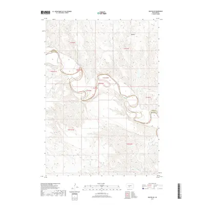
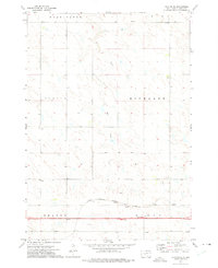
2017 Map of Okaton SW
USGS Topo · Published 2017About this map
The White River carves a complex, winding path through this portion of South Dakota, defining the boundary between Jones and Mellette Counties. The landscape is characterized by the intricate drainage systems of Cottonwood Creek and Yukmi Creek as they descend toward the river valley. In the northern reaches, the small settlement of Okaton sits amidst a network of section lines and rural routes like 260 Ave, providing a window into the organized land division of the Great Plains. The map details the transition from the high prairie down to the eroded river breaks, where Cedar Creek and Roundup Creek further segment the terrain. This document captures the intersection of natural hydrology and political boundaries, showing how the river’s erratic course dictates the county lines in this rural ranching region.
Find a feature on this map
17 named features on this map. Tap any name to fly to it.
Don’t see what you’re looking for? This feature index may not catch every label — zoom into the map to look around manually.
Map Details
Editions of this 2017 Okaton SW Map
This is the sole edition of this map. No revisions or reprints were ever made.
Other maps of this area
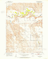
1951 · Stamford SE
USGS Topo · 1:24,000
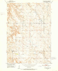
1951 · Cedar Butte NE
USGS Topo · 1:24,000
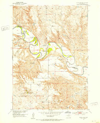
1951 · Okaton SW
USGS Topo · 1:24,000
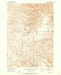
1951 · Murdo 3 NW
USGS Topo · 1:24,000
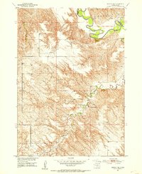
1951 · Murdo 3 NE
USGS Topo · 1:24,000
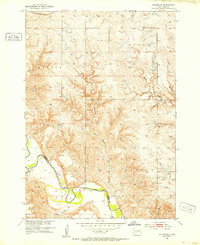
1951 · Okaton SE
USGS Topo · 1:24,000

1955 · Martin
USGS Topo · 1:250,000

1958 · Martin
USGS Topo · 1:250,000
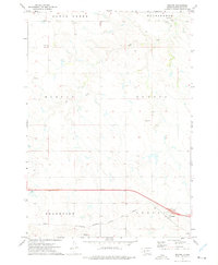
1972 · Okaton
USGS Topo · 1:24,000
1972 · Okaton NE
USGS Topo · 1:24,000