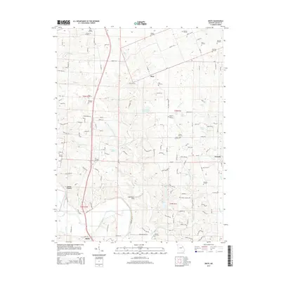
2014 Map of Okete
USGS Topo · Published 2014About this map
Troy sits at the southern edge of this Lincoln County survey, situated where the North Fork Cuivre River and the Cuivre River converge near Cuivre Heights. The landscape is a mix of agricultural plateaus and deeply carved drainages, such as Indian Nest Hollow and the prominent Frenchmans Bluff overlooking the river valley. Numerous family and community burial sites are scattered throughout the region, including the Old Alexandria Cemetery, Thornhill Cemetery, and Auburn Cemetery, providing a wealth of information for genealogical research. Smaller settlements like Okete and Brussels mark local crossroads, while recreational and conservation areas are anchored by Lake Lincoln and the Girl Scout Lake. The map details a transition from the river bottomlands at Porter Slough to the higher elevations of the surrounding ridges.
Find a feature on this map
139 named features on this map. Tap any name to fly to it.
Don’t see what you’re looking for? This feature index may not catch every label — zoom into the map to look around manually.
Map Details
Editions of this 2014 Okete Map
This is the sole edition of this map. No revisions or reprints were ever made.
Other maps of this area
1890 · Louisiana
USGS Topo · 1:125,000
1890 · Hermann
USGS Topo · 1:125,000
1903 · O'Fallon
USGS Topo · 1:125,000
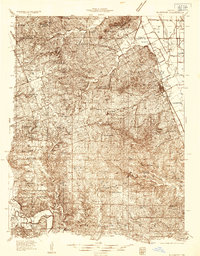
1934 · Elsberry
USGS Topo · 1:48,000
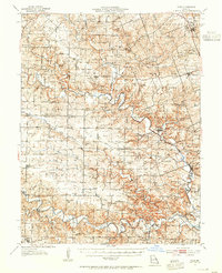
1937 · Silex
USGS Topo · 1:62,500
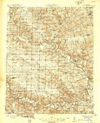
1939 · Silex
USGS Topo · 1:48,000
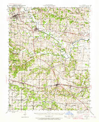
1941 · Troy
USGS Topo · 1:62,500
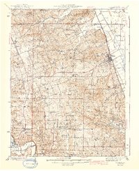
1942 · Elsberry
USGS Topo · 1:62,500
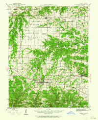
1943 · Warrenton
USGS Topo · 1:62,500
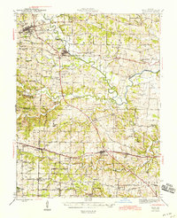
1945 · Troy
USGS Topo · 1:62,500