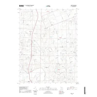
2017 Map of Okete
USGS Topo · Published 2017About this map
Frenchmans Bluff stands above the winding southern reaches of this landscape, overlooking the confluence area where the North Fork Cuivre River meets the main Cuivre River near the city of Troy. This region of Lincoln County is characterized by a high density of ancestral burial grounds, including the Morris Cem and nearby Old Morris Cem in the northwest, alongside the Cochran Cem and Alexandria Cem. To the east, the terrain is marked by smaller settlements like Okete and Brussels, and numerous localized water bodies such as Lake Lincoln, Girl Scout Lake, and Shady Eighty Ranch Lake. The map reveals a transition from the structured residential outskirts of Troy to the north and east where large tracts are divided by creeks like Sugar Cr and Bobs Cr.
Find a feature on this map
136 named features on this map. Tap any name to fly to it.
Don’t see what you’re looking for? This feature index may not catch every label — zoom into the map to look around manually.
Map Details
Editions of this 2017 Okete Map
This is the sole edition of this map. No revisions or reprints were ever made.
Other maps of this area

1890 · Louisiana
USGS Topo · 1:125,000

1890 · Hermann
USGS Topo · 1:125,000

1903 · O'Fallon
USGS Topo · 1:125,000

1934 · Elsberry
USGS Topo · 1:48,000

1937 · Silex
USGS Topo · 1:62,500

1939 · Silex
USGS Topo · 1:48,000

1941 · Troy
USGS Topo · 1:62,500

1942 · Elsberry
USGS Topo · 1:62,500

1943 · Warrenton
USGS Topo · 1:62,500

1945 · Troy
USGS Topo · 1:62,500