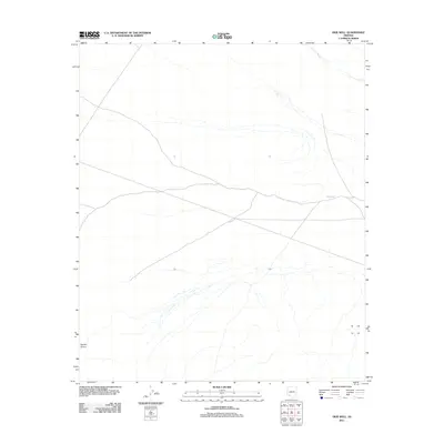
2011 Map of Okie Well
USGS Topo · Published 2011About this map
Okie Well serves as a critical watering point in this arid stretch of Maricopa County, highlighting the sparse but vital human and animal infrastructure required in the Arizona desert. The landscape is defined by its drainage patterns, notably the broad Tenmile Wash which cuts across the northern portion of the quadrangle. In the southwestern corner, the terrain is shaped by Daniels Arroyo, a seasonal watercourse that further illustrates the region's hydraulic character. The network of four-wheel-drive tracks and local roads shown crossing the desert floor indicates the area's continued use for ranching, recreation, or resource management in the early 21st century, where access to isolated landmarks like the well remains essential for navigating the open range.
Find a feature on this map
3 named features on this map. Tap any name to fly to it.
Don’t see what you’re looking for? This feature index may not catch every label — zoom into the map to look around manually.
Map Details
Editions of this 2011 Okie Well Map
This is the sole edition of this map. No revisions or reprints were ever made.
Other maps of this area
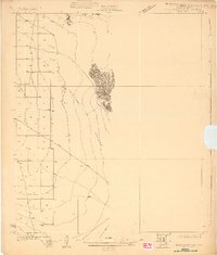
1927 · Aguila Mountains
USGS Topo · 1:48,000
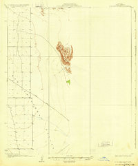
1930 · Aguila Mountains
USGS Topo · 1:62,500

1953 · Ajo
USGS Topo · 1:250,000

1957 · Ajo
USGS Topo · 1:250,000

1958 · Ajo
USGS Topo · 1:250,000

1962 · Ajo
USGS Topo · 1:250,000

1963 · Ajo
USGS Topo · 1:250,000
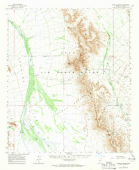
1964 · Growler Peak
USGS Topo · 1:62,500
1965 · Aguila Mountains
USGS Topo · 1:62,500
1965 · Granite Mountains
USGS Topo · 1:62,500