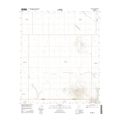
2014 Map of Okie Well
USGS Topo · Published 2014About this map
Growler Mountains dominate the southeastern landscape of this Sonoran Desert quadrangle, where the arid environment is defined by seasonal watercourses and remote landmarks. The terrain is bisected by the county boundary between Maricopa and Pima counties, a line that separates the high peaks from the alluvial flats to the north. Historical land use in this sparsely populated region is evidenced by Okie Well, a critical water point situated in the eastern reaches of the valley. Drainage patterns are clearly marked by the winding paths of Tenmile Wash in the northeast and Daniels Arroyo in the southwest, illustrating the hydraulic connectivity of the desert floor during infrequent but significant rain events.
Find a feature on this map
5 named features on this map. Tap any name to fly to it.
Don’t see what you’re looking for? This feature index may not catch every label — zoom into the map to look around manually.
Map Details
Editions of this 2014 Okie Well Map
This is the sole edition of this map. No revisions or reprints were ever made.
Other maps of this area
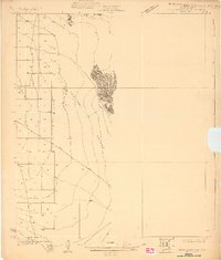
1927 · Aguila Mountains
USGS Topo · 1:48,000
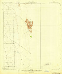
1930 · Aguila Mountains
USGS Topo · 1:62,500

1953 · Ajo
USGS Topo · 1:250,000

1957 · Ajo
USGS Topo · 1:250,000

1958 · Ajo
USGS Topo · 1:250,000

1962 · Ajo
USGS Topo · 1:250,000

1963 · Ajo
USGS Topo · 1:250,000
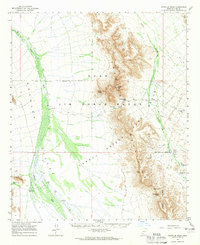
1964 · Growler Peak
USGS Topo · 1:62,500
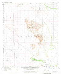
1965 · Aguila Mountains
USGS Topo · 1:62,500
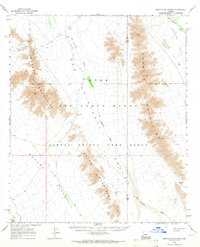
1965 · Granite Mountains
USGS Topo · 1:62,500