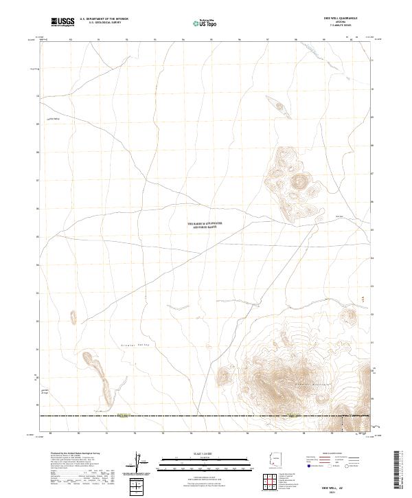
2021 Map of Okie Well
USGS Topo · Published 2021About this map
Growler Mountains dominate the southeastern landscape of this arid region, providing a sharp contrast to the surrounding basins. The high desert environment is characterized by the expansive Growler Valley and the northern reach of Childs Valley, where intermittent drainage systems like Tenmile Wash and Daniels Arroyo define the hydrological patterns of the terrain.
Find a feature on this map
16 named features on this map. Tap any name to fly to it.
Don’t see what you’re looking for? This feature index may not catch every label — zoom into the map to look around manually.
Map Details
Editions of this 2021 Okie Well Map
This is the sole edition of this map. No revisions or reprints were ever made.
Other maps of this area

1927 · Aguila Mountains
USGS Topo · 1:48,000

1930 · Aguila Mountains
USGS Topo · 1:62,500

1953 · Ajo
USGS Topo · 1:250,000

1957 · Ajo
USGS Topo · 1:250,000

1958 · Ajo
USGS Topo · 1:250,000

1962 · Ajo
USGS Topo · 1:250,000

1963 · Ajo
USGS Topo · 1:250,000

1964 · Growler Peak
USGS Topo · 1:62,500
1965 · Aguila Mountains
USGS Topo · 1:62,500

1965 · Granite Mountains
USGS Topo · 1:62,500