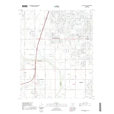
2018 Map of Oklahoma City SE
USGS Topo · Published 2018About this map
Oklahoma City expands southward in this 2018 survey, where the dense grid of suburban streets meets the broad, winding path of the Canadian River. The map illustrates the convergence of urban development and natural drainage systems, with numerous tributaries such as Lost Cr, Boggy Cr, and Cow Cr carving through the landscape. Genealogists will find significant local landmarks including Resthaven Gardens Cem, Emmanuel Cem, and Heritage Burial Park, while aviation history is represented by Odom's Roost Airport west of Newcastle. The survey also marks the intersection of Cleveland Co and Mcclain Co, showing how political boundaries align with the river's course. North of Norman, the terrain opens into the Ten Mile Flat, a distinct geographical feature that stands in contrast to the residential clusters found near Moore.
Find a feature on this map
110 named features on this map. Tap any name to fly to it.
Don’t see what you’re looking for? This feature index may not catch every label — zoom into the map to look around manually.
Map Details
Editions of this 2018 Oklahoma City SE Map
This is the sole edition of this map. No revisions or reprints were ever made.
Other maps of this area

1892 · Moore
USGS Topo · 1:62,500

1893 · Norman
USGS Topo · 1:62,500

1893 · Oklahoma City
USGS Topo · 1:62,500

1898 · Purcell
USGS Topo · 1:125,000

1904 · Chickasha
USGS Topo · 1:125,000

1925 · Norman NO 2
USGS Topo · 1:24,000

1934 · Crutcho Creek
USGS Topo · 1:24,000

1934 · Moore
USGS Topo · 1:62,500

1936 · Norman
USGS Topo · 1:62,500

1938 · Moore
USGS Topo · 1:62,500